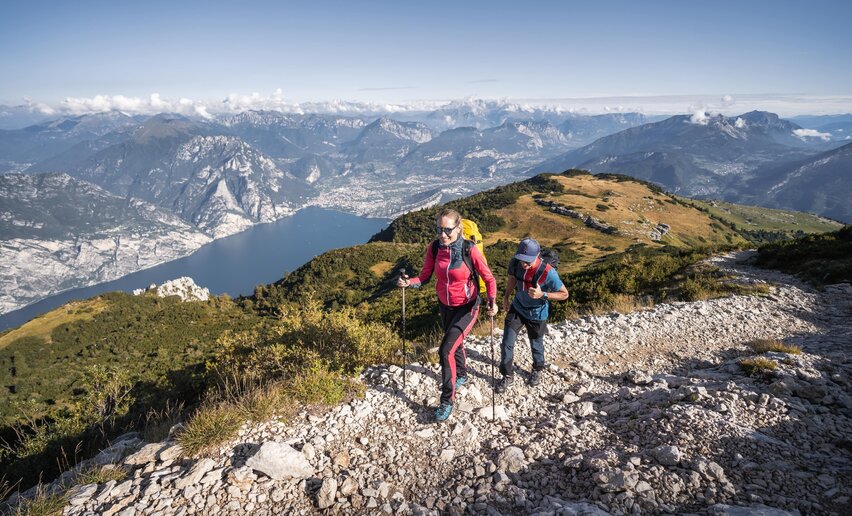
Percorsi Trekking
-
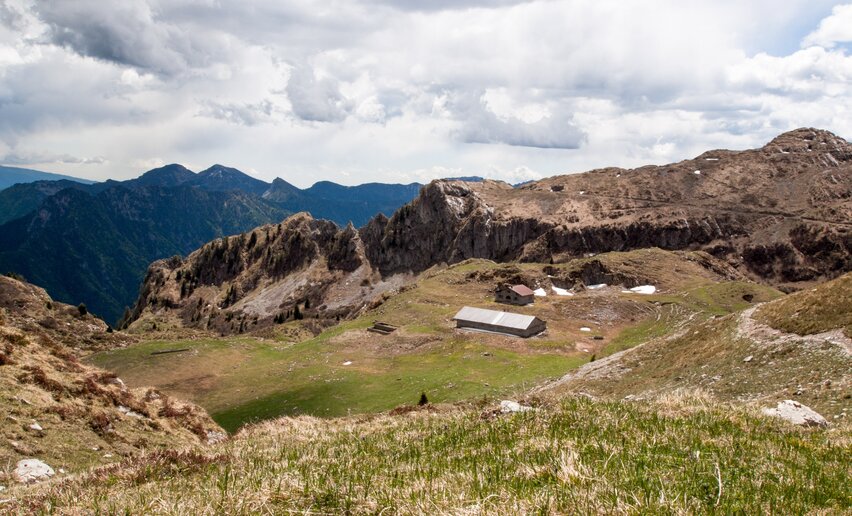
Ledro Alps Trek Alpiedi - Leg 1: from Storo to Tremalzo
Mountain tour+ INFO (GPX KML)Duration: h 10:00Length: 27,8kmAscent: 1.501m
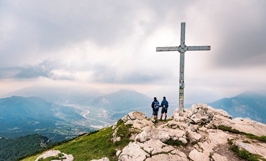
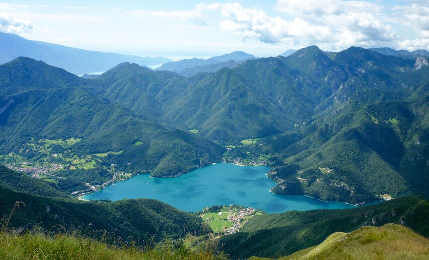
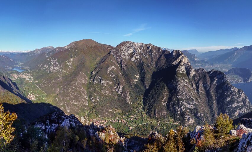
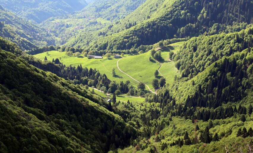
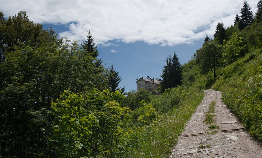
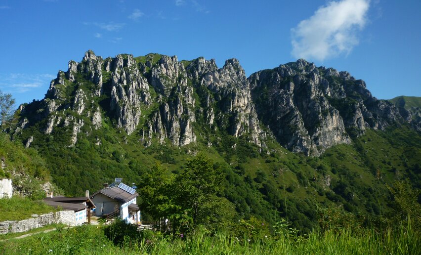
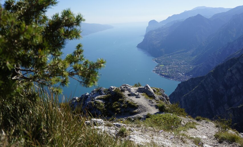
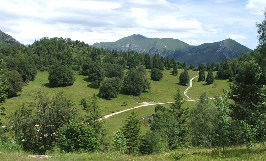
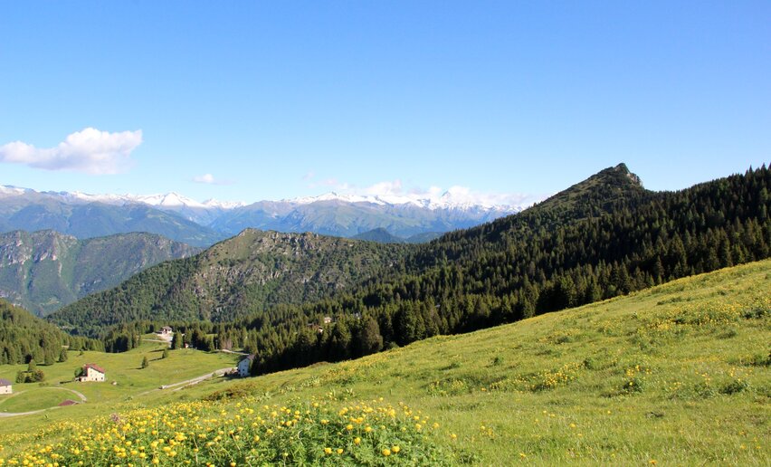 The ascent from Storo to Tremalzo offers spectacular views over Valle di Ledro and Valle del Chiese.
![]() Difficulty: Difficult
Difficulty: Difficult
-
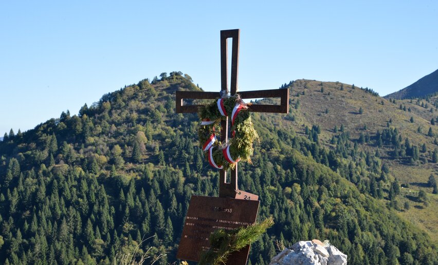
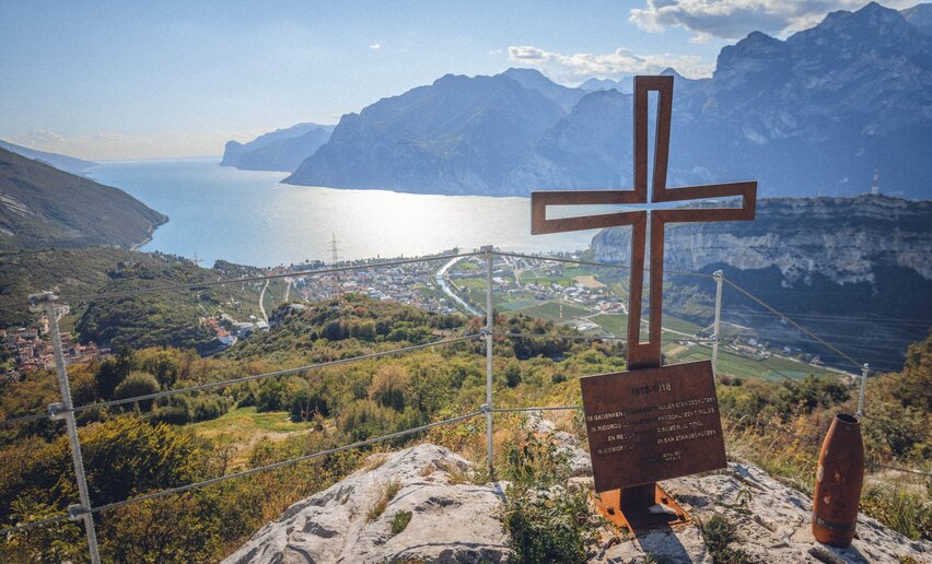
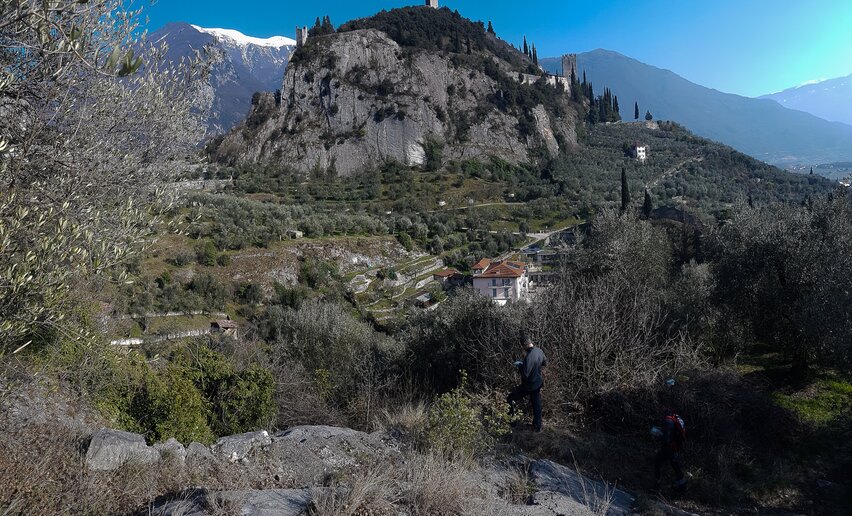
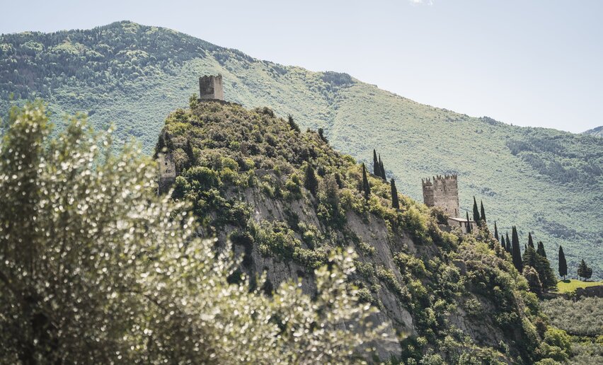
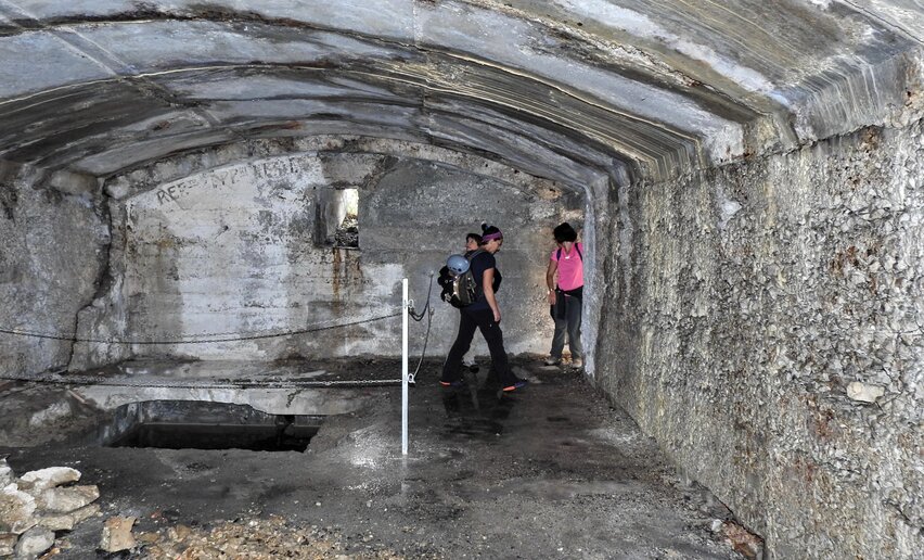
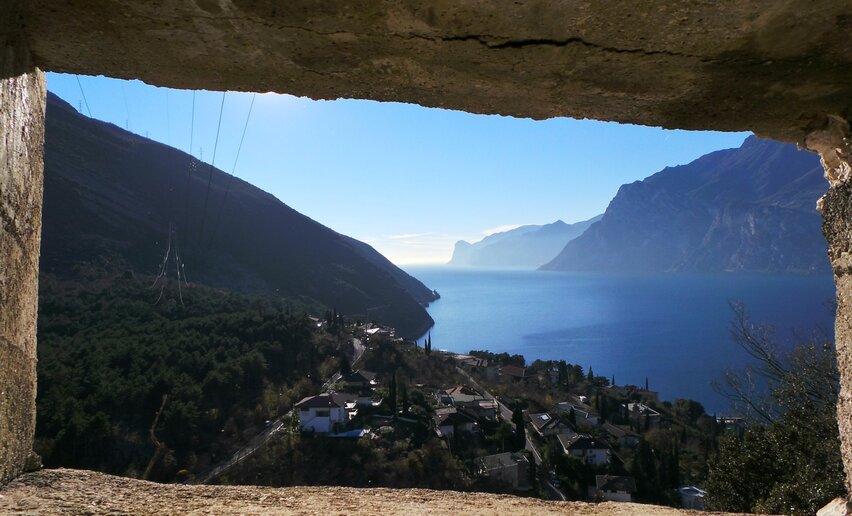
WWI: from S. Giovanni to Cima Rocca
Mountain tour+ INFO (GPX KML)Duration: h 3:31Length: 6,5kmAscent: 598m
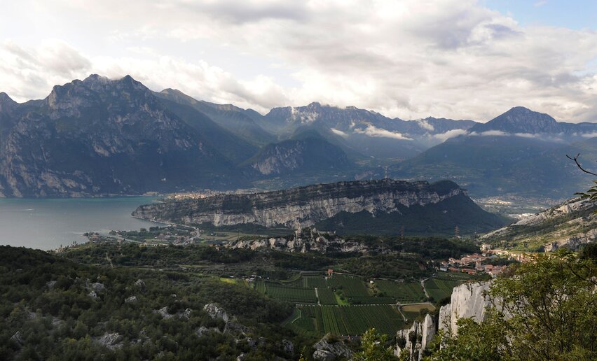
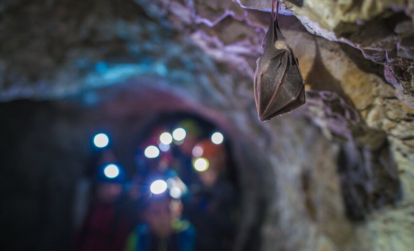 This trail is highly recommended for all history fans: a visit to the system of tunnels in Cima Rocca together with breathtaking views of Lake Garda
![]() Difficulty: IntermediateBiacesa - Ledro
Difficulty: IntermediateBiacesa - Ledro
-
Pieve - Memories on show
Hiking trail+ INFO (GPX KML)Duration: h 0:30Length: 1,6kmAscent: 19m
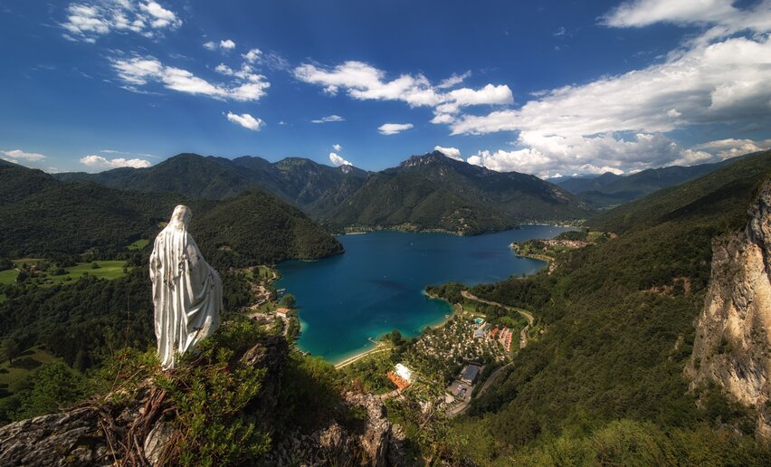
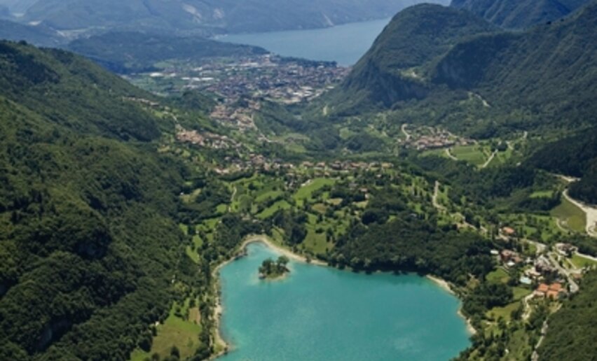
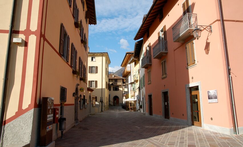 Pieve lies on the western shore of Lake Ledro. Its turquoise water is not the only attraction of the village though. Among its picturesque streets are to be found traces of the history of the village and of Valle di Ledro.
![]() Difficulty: EasyPieve di Ledro
Difficulty: EasyPieve di Ledro
-
GardaTrek - Top Loop 7: Back to the water
Long distance hiking trail+ INFO (GPX KML)Duration: h 2:50Length: 7,6kmAscent: 630m
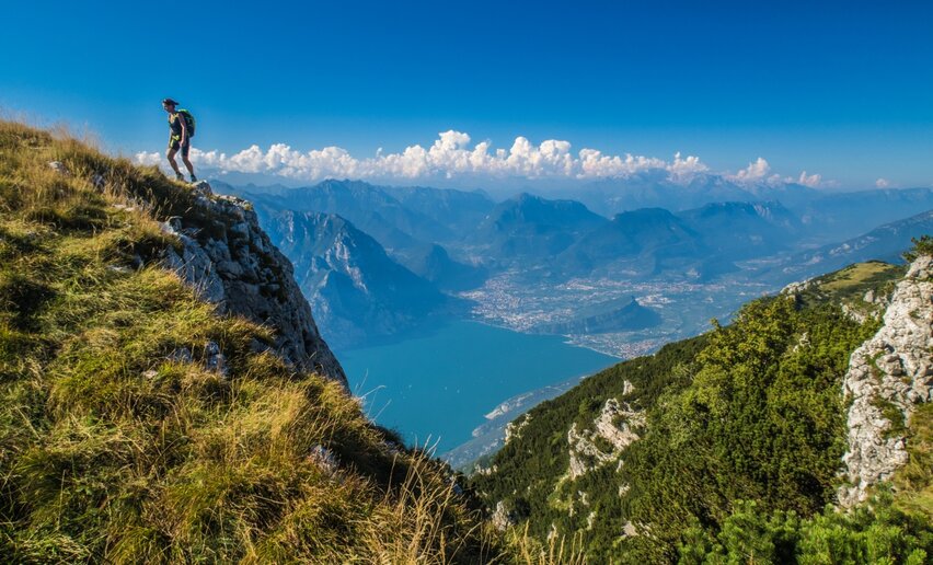 A breathtaking finale for the Top Loop of GardaTrek: take the cable car down to Monte Baldo and return by ferry to get back to where you started from.
 ![]() Difficulty: IntermediateMountain hut Damiano Chiesa - Monte Altissimo
Difficulty: IntermediateMountain hut Damiano Chiesa - Monte Altissimo
-
From Malga Campo to Monte Stivo
Mountain tour+ INFO (GPX KML)Duration: h 4:00Length: 8,4kmAscent: 687m
 This is a trail for experienced hikers which leads to Cima Bassa and then along the ridge to the summit of Stivo, one of the most spectacular viewing points in Garda Trentino
![]() Difficulty: IntermediateMalga Campo
Difficulty: IntermediateMalga Campo
-
Monte San Martino in Lomaso (from S. Giovanni)
Mountain tour+ INFO (GPX KML)Duration: h 2:00Length: 6,5kmAscent: 157m
 Easy walk to the archaeological site on the top of Monte San Martino that dominates the Valley of Giudicarie (do not confuse this area with the one above the village of Campi)
![]() Difficulty: EasySan Giovanni al Monte
Difficulty: EasySan Giovanni al Monte
-
19. Marmitte, Castel Penede and Strada Santa Lucia
Hiking trail+ INFO (GPX KML)Duration: h 2:00Length: 5,8kmAscent: 194m
 An easy hike through historic locations with a marvellous view over Lake Garda
![]() Difficulty: EasyTorbole sul Garda
Difficulty: EasyTorbole sul Garda
-
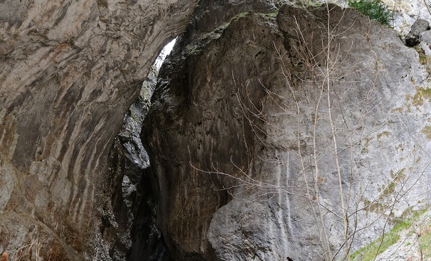
Grotta Camerona and Tenno lake
Mountain tour+ INFO (GPX KML)Duration: h 4:00Length: 10,6kmAscent: 292m
 An excursion through history and nature. From the vast Grotta Camerona to the splendid Lake Tenno with its surrounding mountains and the quaint medieval village.
![]() Difficulty: IntermediateBallino
Difficulty: IntermediateBallino
-
Cooperazione Path
Hiking trail+ INFO (GPX KML)Duration: h 2:05Length: 6,5kmAscent: 286m
 The itinerary is signposted with panels representing Don Lorenzo Guetti.
![]() Difficulty: IntermediateLarido
Difficulty: IntermediateLarido
-
Blossom in Dromaè
Mountain tour+ INFO (GPX KML)Duration: h 5:52Length: 12,1kmAscent: 735m
 Dromaè is among the most beautiful spots in Valle di Ledro, particularly late in the Spring. Green meadows, unparalleled views over the Lake, wild flowers and historical traces make for a spectacular walk.
![]() Difficulty: IntermediateMezzolago
Difficulty: IntermediateMezzolago
-
Great War: Doss Casina and Dosso Alto
Mountain tour+ INFO (GPX KML)Duration: h 3:00Length: 7,0kmAscent: 350m
 A hike through some of the First World War sites where the Italian Futurists fought
![]() Difficulty: EasyMalga Zures - Nago
Difficulty: EasyMalga Zures - Nago
-
GardaTrek - Top Loop 5: Across the former Austrian Front
Long distance hiking trail+ INFO (GPX KML)Duration: h 4:00Length: 12,3kmAscent: 1.797m
 A breathtaking descent from the over 2000 metres a.s.l. of the pastures of Monte Stivo to Nago in the valley floor, across the former front of teh Great War
![]() Difficulty: DifficultMountain hut Prospero Marchetti - Monte Stivo
Difficulty: DifficultMountain hut Prospero Marchetti - Monte Stivo
-
The Old Pinza Road
Mountain tour+ INFO (GPX KML)Duration: h 4:32Length: 10,5kmAscent: 1.509m
 Itinerary that follows the signed path 402 from Bocca di Trat, at the border with Valle di Ledro, to Riva del Garda along one of the historic roads of Garda Trentino
![]() Difficulty: DifficultHut Nino Pernici - Bocca di Trat
Difficulty: DifficultHut Nino Pernici - Bocca di Trat
-
Ledro Alps Trek Alpiedi - Leg 4: from Rifugio Pernici to Bivacco Campel
Mountain tour+ INFO (GPX KML)Duration: h 8:00Length: 18,2kmAscent: 620m
 The Peace Path, which runs along the Front of the Great War, links Rifugio Pernici to Monte Cadria, the highest point in the whole of Valle di Ledro.
 ![]() Difficulty: DifficultRifugio Pernici
Difficulty: DifficultRifugio Pernici
-
GardaTrek - Top Loop 6: In the Garden of Europe
Long distance hiking trail+ INFO (GPX KML)Duration: h 7:00Length: 11,3kmAscent: 1.839m
 This stage takes you to Monte Baldo, renowned for the exceptional variety of its flora (it's therefore known as "Garden of Europe") and the incredible views over Lake Garda.
![]() Difficulty: DifficultNago
Difficulty: DifficultNago
-
Malga Plaz
Mountain tour+ INFO (GPX KML)Duration: h 4:22Length: 10,2kmAscent: 910m
 Trekking on the mountains in the Adamello Brenta Natural Park.
![]() Difficulty: IntermediateStenico
Difficulty: IntermediateStenico
-
Monte Cadria
Mountain tour+ INFO (GPX KML)Duration: h 6:00Length: 11,9kmAscent: 1.318m
 The ascent from the woods of Concei to the top of Monte Cadria is among the most demanding that Valle di Ledro has to offer, but also one of the most rewarding.
![]() Difficulty: DifficultLocalità Ex-Centrale, Concei
Difficulty: DifficultLocalità Ex-Centrale, Concei
-
Malga Nardis
Mountain tour+ INFO (GPX KML)Duration: h 7:00Length: 15,3kmAscent: 1.220m
 A panoramic and little-known ring route on the trail of the wonders of the local flora and fauna.
![]() Difficulty: DifficultFrazione Cornelle, Fiavè
Difficulty: DifficultFrazione Cornelle, Fiavè
-
Monte Carone
Mountain tour+ INFO (GPX KML)Duration: h 7:00Length: 14,7kmAscent: 1.151m
 Circular route that runs along the border between Trentino and Lombardy, once the last frontier of the Habsburg Empire, as is testified by the military fortifications that are to be seen along the way.
![]() Difficulty: DifficultCar Park, Via San Giacomo, Prè
Difficulty: DifficultCar Park, Via San Giacomo, Prè
-
Garda Trek - Top Loop: The crown of Garda Trentino
Long distance hiking trail+ INFO (GPX KML)Duration: h 47:00Length: 93,3kmAscent: 1.972m
 7 challenging stages from one mountain hut to the next, from the shores of the lake to 2000 m and above, touching on all of the peaks surrounding the northern shores of Lake Garda.
![]() Difficulty: DifficultRiva del Garda
Difficulty: DifficultRiva del Garda
-
Galleria Riccabona
Mountain tour+ INFO (GPX KML)Duration: h 1:00Length: 2,2kmAscent: 218m
 Very easy route unfolding from Malga Trat to the slopes of Mazza di Pichea, where some fortifications dating back to the Great War are located.
![]() Difficulty: EasyMalga Trat
Difficulty: EasyMalga Trat
-
Defensionsmauer
Mountain tour+ INFO (GPX KML)Duration: h 3:40Length: 8,1kmAscent: 346m
 From war to peace: the walkway linking the Austrian fortifications dating back to the Great War now makes for a beautiful itinerary for history enthusiasts, hiking lovers and those who just want to enjoy a great view. Return along the Ponale path, once the main link between Valle di Ledro and Riva del Garda and battleground during the Great War. The rock formations and the vegetation, influenced by the mild climate of Lake Garda, give to the landscape a Mediterranean-like appearance.
![]() Difficulty: IntermediateBiacesa
Difficulty: IntermediateBiacesa
-
Sentiero del Latte
Hiking trail+ INFO (GPX KML)Duration: h 2:00Length: 7,3kmAscent: 116m
 Embark on a journey to explore the rural mountain economy of Fiavé and Favrio, centred around the production of milk and its various derivatives.
![]() Difficulty: EasyFiavé
Difficulty: EasyFiavé
-
From waterfall to waterfall
Mountain tour+ INFO (GPX KML)Duration: h 3:00Length: 7,2kmAscent: 311m
 Circular route along the old Roman road to Croina, among natural and historical wonders.
 ![]() Difficulty: IntermediateTiarno di Sotto
Difficulty: IntermediateTiarno di Sotto
-
Walking around Lake Ledro
Hiking trail+ INFO (GPX KML)Duration: h 2:30Length: 9,5kmAscent: 33m
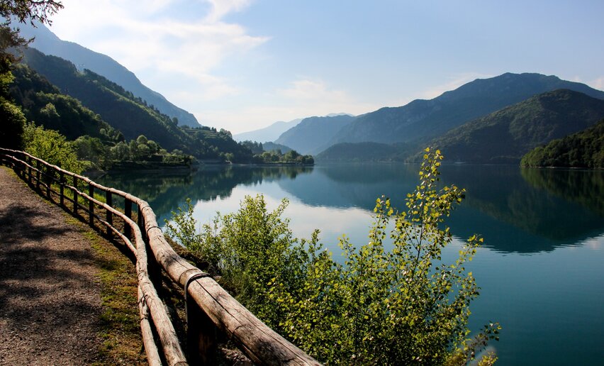 Whoever visits Valle di Ledro can’t miss the promenade along the shore of Lake Ledro, with its four beaches and its villages (Pieve, Mezzolago and Molina).
![]() Difficulty: EasyPieve di Ledro
Difficulty: EasyPieve di Ledro
-
Sentiero del Troc - Lago d'Ampola
Hiking trail+ INFO (GPX KML)Duration: h 1:30Length: 6,2kmAscent: 58m
 Lake Ledro is not the only lake in Valle di Ledro.
 ![]() Difficulty: IntermediateTiarno di Sopra
Difficulty: IntermediateTiarno di Sopra
-
Exploring Ledro Land Art
Hiking trail+ INFO (GPX KML)Duration: h 1:00Length: 2,6kmAscent: 67m
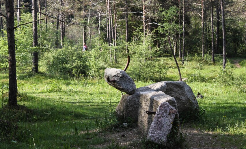 Ledro Land Art is an environmental art park immersed in the pinewood of Pur, one of the green lungs of the Valle di Ledro, where artistic creativity meets nature.
![]() Difficulty: EasyPur
Difficulty: EasyPur
-
Malga Giù - San Martino
Mountain tour+ INFO (GPX KML)Duration: h 5:00Length: 13,3kmAscent: 670m
 Ascent from the pinewood of Pur to the alpine meadows of Malga Giù and Ca’ de Mez, on the mountains above Molina. Descent towards Pieve passing by the little church of San Martino, an ancient hermitage offering a stunning view over Lake Ledro and Val Concei.
![]() Difficulty: IntermediatePur
Difficulty: IntermediatePur
-
WWI: Monte Corno
Mountain tour+ INFO (GPX KML)Duration: h 3:10Length: 6,9kmAscent: 521m
 A historical hike up the slopes of Mount Corno, offering magnificent views of Lake Garda, Arco, the Sarca Plain, and Lake Loppio.
![]() Difficulty: IntermediateNago - Parking place Coel
Difficulty: IntermediateNago - Parking place Coel
-
Ponale Path (from Ledro)
Mountain tour+ INFO (GPX KML)Duration: h 4:00Length: 10,5kmAscent: 307m
 For more than a century the Ponale road has enchanted travellers. This route is ideal for all those who want to enjoy a nice walk and a breath-taking view over Lake Garda and the surrounding mountains.
 ![]() Difficulty: IntermediateBiacesa
Difficulty: IntermediateBiacesa
-
Cima Avez
Mountain tour+ INFO (GPX KML)Duration: h 2:00Length: 9,1kmAscent: 220m
 Very easy route, ideal for families looking for a day trip in the mountains.
 ![]() Difficulty: EasyTremalzo - Albergo Garda
Difficulty: EasyTremalzo - Albergo Garda
-
Bezzecca – Val Molini – Santa Lucia
Hiking trail+ INFO (GPX KML)Duration: h 1:15Length: 4,7kmAscent: 62m
 To the discovery of one of the little side valleys of Valle di Ledro, among green meadows and historical sites.
![]() Difficulty: EasyBezzecca
Difficulty: EasyBezzecca
-
Bocca Trat - Cima Parì
Mountain tour+ INFO (GPX KML)Duration: h 4:30Length: 9,7kmAscent: 551m
 Cima Parì is one of the most stunning viewpoints in Valle di Ledro. On a clear day, it offers views sweeping from Lake Ledro to Lake Garda, from the Dolomites to Adamello.
 ![]() Difficulty: IntermediateCar Park, Malga Trat
Difficulty: IntermediateCar Park, Malga Trat
-
Madonnina di Bezzecca
Hiking trail+ INFO (GPX KML)Duration: h 1:30Length: 4,3kmAscent: 94m
 It takes just a few minutes from the village to reach the Madonnina of Bezzecca, a nice spot with a beautiful view over Lake Ledro. Val di Mulini stretches through meadows and barns.
 ![]() Difficulty: EasyBezzecca
Difficulty: EasyBezzecca
-
Ledro Trek Low
Mountain tour+ INFO (GPX KML)Duration: h 8:00Length: 18,0kmAscent: 375m
 Start from the Tourist Office in Pieve. We enter the village, we turn into Via Rabaglia and we take the SAT 454 path. At the first bend, instead of continuing along the numbered path, we take the path on the right. We walk along this path to Mezzolago and then we continue downhill along Via Dromaè. After a few hundred metres we take the path on the left and we get into the wood. At the top of the ascent we turn right, and we start walking along a flat path. As we reach For di Bella, in sight of a hut, we take the left path and we resume the uphill climb until we reach the forestry road. Before the bend we take the path on the right and we start the descent towards Molina. At the fork with the path leading to the Madonnina we suggest you make a little detour to enjoy the wonderful view. Once we reach the asphalt, we walk downhill along Via dei Colli to the Pile-Dwellings Museum. We walk along the lake and at the limestone kiln we take the path on the left and we start walking uphill in the wood. We follow the path to Pur and we reach Via Casarino. We turn right and the fork we turn left into the road leading to Malga Cita. We reach the start of Ledro Land Art, we enter the pinewood, we cross the dry torrent bed and we start walking uphill. We reach the forestry road and then we turn right. We continue along the forestry road and we reach Via al Roccolo and we start our descent to Pieve, first along the road and then along the bike path.
![]() Difficulty: DifficultPieve di Ledro
Difficulty: DifficultPieve di Ledro
-
Sentiero dell'Acqua
Mountain tour+ INFO (GPX KML)Duration: h 3:15Length: 10,2kmAscent: 266m
 A walk that celebrates the forces of nature, like water with its healing properties and ability to shape and fascinate: from Comano Spa to the deep gorge of the Canyon del Limarò, continuing along the river Sarca, one of the main watercourses in Trentino, that connects the Adamello - Presanella & Brenta Dolomites glaciers to Lake Garda.
![]() Difficulty: IntermediatePonte Arche
Difficulty: IntermediatePonte Arche
-
From Malga Campo to Rifugio Altissimo above Lake Garda
Mountain tour+ INFO (GPX KML)Duration: h 3:35Length: 9,4kmAscent: 442m
 The mountain hut Rifugio Damiano Chiesa on Monte Altissimo is one of the most popular destinations with hikers in Garda Trentino. This is a variation on the usual route for you to try
![]() Difficulty: IntermediateCark park next to alpine hut Graziani
Difficulty: IntermediateCark park next to alpine hut Graziani
-
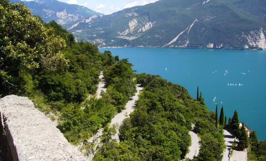
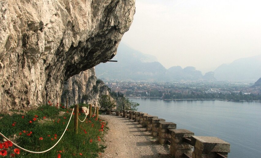
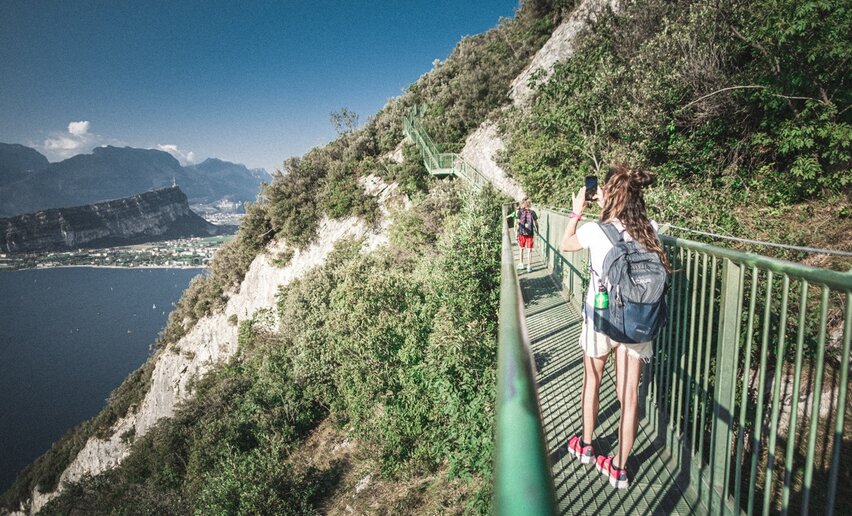
Ponale Path (from Riva del Garda)
Mountain tour+ INFO (GPX KML)Duration: h 3:00Length: 6,4kmAscent: 467m
 Ponale Trail is the best known and most popular in Garda Trentino: spectacular as its winds sheer above the lake, a classic trek you can't afford to miss.
![]() Difficulty: EasyVia Monte Oro - Riva del Garda
Difficulty: EasyVia Monte Oro - Riva del Garda
-
Marocche Nature Reserve
Mountain tour+ INFO (GPX KML)Duration: h 2:00Length: 6,1kmAscent: 119m
 A walk in a truly unique environment in another dimension of time and space
![]() Difficulty: IntermediateParking space Loc. Marocche - Drena
Difficulty: IntermediateParking space Loc. Marocche - Drena
-
“La strada delle streghe” path
Hiking trail+ INFO (GPX KML)Duration: h 1:00Length: 3,1kmAscent: 126m
 In Balbido, take the road that goes towards val Marcia as far as Le Cross where you will find an open space and the sign indicating the start of the walk.
![]() Difficulty: IntermediateRango
Difficulty: IntermediateRango
-
Ledro Alps Trek Alpiedi - Leg 3: from Bivacco Arcioni to Rifugio Pernici
Mountain tour+ INFO (GPX KML)Duration: h 5:00Length: 11,1kmAscent: 1.008m
 The path runs along the Front of the First World War, on the mountainside of Cima d'Oro, Cima Sclapa and Cima Parì.
![]() Difficulty: IntermediateBivacco Arcioni
Difficulty: IntermediateBivacco Arcioni
-
Sentiero Busatte Tempesta
Mountain tour+ INFO (GPX KML)Duration: h 2:40Length: 7,9kmAscent: 212m
 The Busatte - Tempesta Trail is one of the most well-known and popular hikes in the area.
 ![]() Difficulty: EasyBusatte Park - Torbole sul Garda
Difficulty: EasyBusatte Park - Torbole sul Garda
-
Rango, Balbido and Passo Durone
Mountain tour+ INFO (GPX KML)Duration: h 2:45Length: 8,3kmAscent: 224m
 This is an easy and fascinating walk first through Rango, “one of the most beautiful villages in Italy”, then Balbido, known as Il paese dipinto (the painted village) and Passo Durone.
![]() Difficulty: EasyRango
Difficulty: EasyRango
-
Monte San Martino nel Lomaso (da Lundo)
Mountain tour+ INFO (GPX KML)Duration: h 2:30Length: 5,8kmAscent: 258m
 This excursion runs almost entirely through the woods leading to the discovery of a place not so well known but very interesting for its archaeological significance.
![]() Difficulty: EasyLundo
Difficulty: EasyLundo
-
Credata Fort
Mountain tour+ INFO (GPX KML)Duration: h 1:00Length: 3,9kmAscent: 295m
 This short walk will take you through one of the most interesting places of Val Algone: a small fortress tucked-away in the woods that covers the craggy left side of the valley.
![]() Difficulty: EasyVal Algone (700 m)
Difficulty: EasyVal Algone (700 m)
-
On Monte Valandro
Mountain tour+ INFO (GPX KML)Duration: h 5:30Length: 10,1kmAscent: 1.031m
 This excursion runs along the sides of Banale, immersed in Adamello-Brenta Natural Park.
![]() Difficulty: IntermediateSeo
Difficulty: IntermediateSeo
-
Bastione - S. Maria Maddalena - Foci San Giacomo
Hiking trail+ INFO (GPX KML)Duration: h 1:30Length: 4,3kmAscent: 187m
 Short and easy walk to discover an almost unknown area of Riva del Garda.
 ![]() Difficulty: IntermediateVia Monte Oro - Riva del Garda
Difficulty: IntermediateVia Monte Oro - Riva del Garda
-
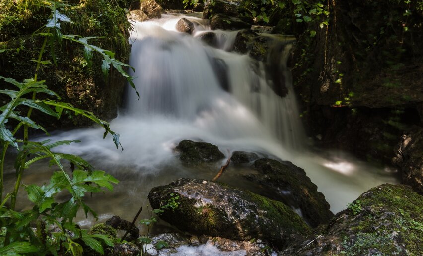
The Rio Bianco Waterfall and the Bosco Arte Stenico
Hiking trail+ INFO (GPX KML)Duration: h 2:00Length: 4,7kmAscent: 149m
 Along this captivating itinerary, you will come to appreciate two important aspects of the Parco Naturale Adamello-Brenta: its water and flora. The water element, prime resource for the ecosystem and for mankind, shapes and carves the landscape and is an integral part of this excursion which reaches the heart of the roaring Rio Bianco waterfalls.
![]() Difficulty: EasyStenico
Difficulty: EasyStenico
-
From Lake Tenno to Canale, a stroll through the countryside
Hiking trail+ INFO (GPX KML)Duration: h 1:30Length: 4,5kmAscent: 45m
 Easy walk around Lake Tenno and as far as Canale, a medieval village belonging to the club of the Most Beautiful Villages of Italy.
![]() Difficulty: EasyLake Tenno
Difficulty: EasyLake Tenno
-
The S. Vili’s path: through Deggia, Moline & Ranzo
Mountain tour+ INFO (GPX KML)Duration: h 5:00Length: 13,9kmAscent: 341m
 A walk between nature and history.
![]() Difficulty: IntermediateFraz. Deggia, San Lorenzo in Banale - Santuario della Madonna di Deggia
Difficulty: IntermediateFraz. Deggia, San Lorenzo in Banale - Santuario della Madonna di Deggia
-
GardaTrek - Top Loop 4: to the balcony over Lake Garda
Long distance hiking trail+ INFO (GPX KML)Duration: h 7:50Length: 16,3kmAscent: 1.908m
 Another uphill stage! From the bottom of the valley there is almost 2000 metres of elevation gain to get to one of the most spectacular viewing points in all of Garda Trentino.
![]() Difficulty: DifficultCeniga
Difficulty: DifficultCeniga
-
Great War: Cima Nodice and the “Scala Santa” or Holy Stairs
Mountain tour+ INFO (GPX KML)Duration: h 2:01Length: 3,1kmAscent: 294m
 A short hike in the mountains sheer above Lake Garda following the trail of the First World War
![]() Difficulty: IntermediatePregasina
Difficulty: IntermediatePregasina
-
GardaTrek - TopLoop 2: descent to Lake Tenno (Alternative route)
Long distance hiking trail+ INFO (GPX KML)Duration: h 4:30Length: 12,3kmAscent: 1.184m
 Sentiero della Regina is often damaged by bad weather. This alternative route bypasses the interrupted stretch and reconnects to the official Garda Trek Top Loop track in Canale.
![]() Difficulty: IntermediateNino Pernici mountain hut - Bocca di Trat
Difficulty: IntermediateNino Pernici mountain hut - Bocca di Trat
-
Ledro Trek Medium - Stage 2
Mountain tour+ INFO (GPX KML)Duration: h 6:30Length: 16,6kmAscent: 820m
 Ledro Trek Medium is a two-day trek along mountainside trails overlooking Lake Ledro. Highlights of the second stage: Wonderful views of Lake Ledro, Ledro Land Art and Alpine pastures of Sant'Anna.
![]() Difficulty: DifficultMolina di Ledro
Difficulty: DifficultMolina di Ledro
-
From Cornelle through the surrounding woods
Mountain tour+ INFO (GPX KML)Duration: h 3:30Length: 8,0kmAscent: 394m
 This excursion, running entirely through the woods, with short stretches bordering the fields, offers an opportunity to experience, first-hand, the beauty of the alpine landscape.
![]() Difficulty: IntermediateLoc. Cornelle Fiavé
Difficulty: IntermediateLoc. Cornelle Fiavé
-
10. To the Hermitage Eremo di San Giacomo
Mountain tour+ INFO (GPX KML)Duration: h 2:15Length: 4,2kmAscent: 615m
 A hike up the slopes of Monte Stivo from Bolognano to the chapel which overlooks the town and the Arco area and offers a good view point.
![]() Difficulty: IntermediateBolognano - car parking at the church
Difficulty: IntermediateBolognano - car parking at the church
-
Le Tre Sorelle: the Three Sisters
Mountain tour+ INFO (GPX KML)Duration: h 6:00Length: 14,6kmAscent: 831m
 A less well-known corner of Valle di Ledro, at the border with Valle del Chiese and the Giudicarie.
 ![]() Difficulty: DifficultTiarno di Sotto
Difficulty: DifficultTiarno di Sotto
-
Walking tour of the mountain huts of Val di Concei
Mountain tour+ INFO (GPX KML)Duration: h 7:00Length: 14,6kmAscent: 816m
 A journey to the discovery of the rural economy of Valle di Ledro.
![]() Difficulty: IntermediateRifugio Al Faggio
Difficulty: IntermediateRifugio Al Faggio
-
Monte S. Martino
Mountain tour+ INFO (GPX KML)Duration: h 3:00Length: 6,2kmAscent: 428m
 Trekking with a beautiful view over the Comano valley.
![]() Difficulty: IntermediatePasso Durone
Difficulty: IntermediatePasso Durone
-
Malga Movlina and Rifugio XII Apostoli
Mountain tour+ INFO (GPX KML)Duration: h 5:30Length: 11,4kmAscent: 825m
 This excursion leads to the heart of Parco Naturale Adamello Brenta and offers breath-taking views of the Dolomites and the Adamello, passing through the spectacular Val Algone to reach Rifugio XII Apostoli (2.847 m).
![]() Difficulty: IntermediateMalga Movlina
Difficulty: IntermediateMalga Movlina
-
2 days in the mountains of Garda Trentino and 1 night in Rifugio Pernici
Mountain tour+ INFO (GPX KML)Duration: h 13:45Length: 25,4kmAscent: 1.707m
 Sleeping in a mountain hut is always a thrill. This excursion has an overnight stay in the mountains followed by a super panoramic hike back down to Riva del Garda
![]() Difficulty: DifficultRiva del Garda
Difficulty: DifficultRiva del Garda
-
Bosco Caproni and Trenches of Vastrè
Mountain tour+ INFO (GPX KML)Duration: h 2:00Length: 5,8kmAscent: 217m
 A nature walk which in just a few kilometres manages to give a fascinating insight into the historical events which left their mark on Garda Trentino
![]() Difficulty: EasyParking place at the bridge - Arco
Difficulty: EasyParking place at the bridge - Arco
-
GardaTrek - Top Loop 3: a long descent to the River Sarca
Long distance hiking trail+ INFO (GPX KML)Duration: h 7:55Length: 20,3kmAscent: 1.240m
 From San Pietro hut (1000 m above sea level) to the valley bottom again. Another stage characterized by a great variety of lanscapes as you descend to the Sarca river shores.
 ![]() Difficulty: DifficultMountain hut San Pietro - Monte Calino
Difficulty: DifficultMountain hut San Pietro - Monte Calino
-
Monte Tomeabrù
Mountain tour+ INFO (GPX KML)Duration: h 4:30Length: 9,7kmAscent: 352m
 Monte Tomeabrù offers a wonderful view over Lake Ledro. This route is a good alternative to the well-trodden path to Cima Parì.
![]() Difficulty: IntermediateMalga Trat
Difficulty: IntermediateMalga Trat
-
Great War: from Malga Grassi to Rifugio Pernici
Mountain tour+ INFO (GPX KML)Duration: h 2:08Length: 2,5kmAscent: 558m
 This is without doubt one of the most popular hiking trails in Garda Trentino. Short and not too hard, it leads to one of the busiest mountain huts in the area.
![]() Difficulty: IntermediateCampi - Parking place Malga Grassi
Difficulty: IntermediateCampi - Parking place Malga Grassi
-
Tour of the malghe of Molina
Mountain tour+ INFO (GPX KML)Duration: h 6:00Length: 13,8kmAscent: 1.026m
 From malga to malga, discovering the alpine pastures above Molina, between Monte Corno and Monte Tremalzo.
![]() Difficulty: DifficultPur
Difficulty: DifficultPur
-
Monte Biaina
Mountain tour+ INFO (GPX KML)Duration: h 3:35Length: 7,3kmAscent: 288m
 Hike to the Biaina Mount with its 360° view that goes from Lake Garda to the Dolomites
![]() Difficulty: IntermediateSan Giovanni al Monte
Difficulty: IntermediateSan Giovanni al Monte
-
Monte Casale
Mountain tour+ INFO (GPX KML)Duration: h 5:00Length: 11,6kmAscent: 1.012m
 From the top, the view spans across Trentino’s peaks and 7 lakes.
![]() Difficulty: IntermediateComano Paese
Difficulty: IntermediateComano Paese
-
Coste di Baone
Mountain tour+ INFO (GPX KML)Duration: h 2:00Length: 4,9kmAscent: 162m
 With its rocky slope and hillsides covered in olive groves Monte Baone is a landmark of Garda Trentino. From here there is an absolutely spectacular view over the entire area.
![]() Difficulty: EasyParcheggio al Calvario - Arco
Difficulty: EasyParcheggio al Calvario - Arco
-
The Dürer Promenade in Arco
Hiking trail+ INFO (GPX KML)Duration: h 2:21Length: 7,6kmAscent: 157m
 A walk from the centre of Arco to Varignano, in the footsteps of the painter Albrecht Dürer who at the end of the 15th century was inspired by these places to paint the castle and town.
![]() Difficulty: EasyArco - city center
Difficulty: EasyArco - city center
-
Bastione and Santa Barbara, the lords of Riva del Garda
Mountain tour+ INFO (GPX KML)Duration: h 1:45Length: 2,8kmAscent: 544m
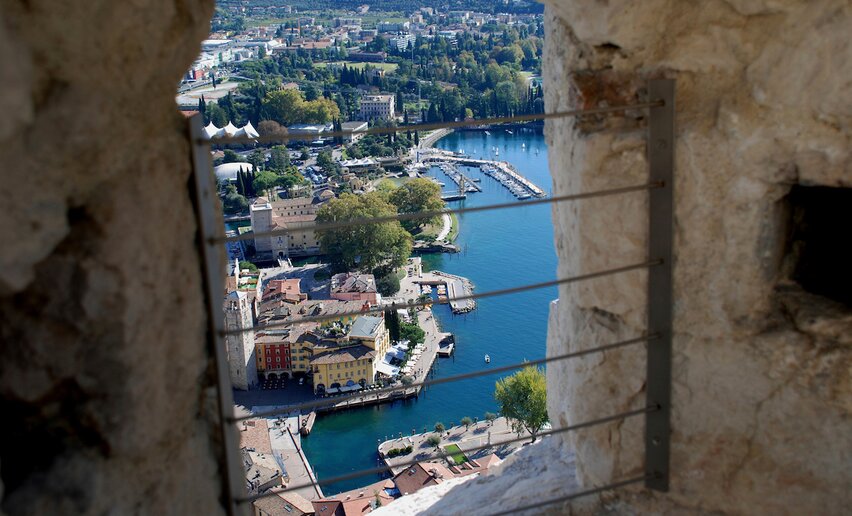 From Riva del Garda to Bastione and then on up to Santa Barbara: this hike touches on two of the symbols of the town perched on the mountainside above Riva del Garda
![]() Difficulty: IntermediateRiva del Garda
Difficulty: IntermediateRiva del Garda
-
Passo della Morte: a path through nature and legend
Mountain tour+ INFO (GPX KML)Duration: h 3:30Length: 7,7kmAscent: 510m
 This is a long walk that will take you through the leafy forests that drape the sides of “Godesi”, (the north-western side of Mount Casale), a location rich in historic and cultural elements.
![]() Difficulty: IntermediateComano Paese
Difficulty: IntermediateComano Paese
-
From the church of San Lorenzo to Bussè hill
Hiking trail+ INFO (GPX KML)Duration: h 1:00Length: 3,0kmAscent: 109m
 An easy walk that connects two viewpoints near Tenno: the Grom hill in the village of Frapporta and the educational nature path on the Bussè hill.
![]() Difficulty: EasyCar park (Fire Station) - Tenno
Difficulty: EasyCar park (Fire Station) - Tenno
-
Ledro Alps Trek Alpiedi - Leg 2: from Tremalzo to Bivacco Arcioni
Mountain tour+ INFO (GPX KML)Duration: h 8:00Length: 23,7kmAscent: 1.440m
 This route runs all along the southern side of Valle di Ledro, from the verdant meadows of Tremalzo to the rocky peaks of Monte Carone.
![]() Difficulty: DifficultPasso Tremalzo
Difficulty: DifficultPasso Tremalzo
-
Church of San Giovanni - Bivacco Arcioni
Mountain tour+ INFO (GPX KML)Duration: h 2:30Length: 4,7kmAscent: 436m
 Climb up from the little church of San Giovanni to the Arcioni bivouac with its panoramic terrace.
![]() Difficulty: EasyBiacesa – sports field (470 m)
Difficulty: EasyBiacesa – sports field (470 m)
-
Monte Gaggio e Gaggiolo
Mountain tour+ INFO (GPX KML)Duration: h 4:30Length: 12,8kmAscent: 127m
 Pleasant walk in little-known areas of Garda Trentino passing through Gaggio and Gaggiolo.
 ![]() Difficulty: EasyPietramurata
Difficulty: EasyPietramurata
-
Cima Rocca
Mountain tour+ INFO (GPX KML)Duration: h 3:30Length: 7,8kmAscent: 660m
 Trek for hikers with experience along the side of the Ledro Alps facing Lake Garda.
 ![]() Difficulty: IntermediateBiacesa
Difficulty: IntermediateBiacesa
-
Ledro Alps Trek Alpiedi - Leg 5: from Bivacco Campel to Storo
Mountain tour+ INFO (GPX KML)Duration: h 8:00Length: 22,0kmAscent: 1.310m
 This route runs downhill through meadows, broadleaved trees and malghe, astride two valleys: Valle di Ledro and Valli Giudicarie.
![]() Difficulty: Intermediate
Difficulty: Intermediate
-
From Dro to Braila along the Teacher's Trail
Mountain tour+ INFO (GPX KML)Duration: h 4:30Length: 10,9kmAscent: 415m
 An excursion from Dro to the mountain hamlet of Braila, along the historic trail which cuts across the slopes of Monte Varino with a spectacular view over the Sarca Valley.
![]() Difficulty: IntermediateDro - Piazza della Repubblica
Difficulty: IntermediateDro - Piazza della Repubblica
-
Hidden Treasures: Pranzo, a village and its crafts
Hiking trail+ INFO (GPX KML)Duration: h 0:30Length: 1,3kmAscent: 62m
 A visit to the open air art installation in the village of Pranzo (Tenno): wooden panels made by the local school of sculpture in honour of the trades and professions of days gone by.
![]() Difficulty: EasyPranzo di Tenno
Difficulty: EasyPranzo di Tenno
-
Open Air Gallery: art in the open air in Drena
Hiking trail+ INFO (GPX KML)Duration: h 0:21Length: 0,8kmAscent: 53m
 Lots of different unexpected installations, objects and splashes of colour which transform the woods into an open air art gallery
![]() Difficulty: EasyBraila - Parking place
Difficulty: EasyBraila - Parking place
-
Around Monte Tremalzo
Mountain tour+ INFO (GPX KML)Duration: h 6:00Length: 12,1kmAscent: 594m
 The route alternates the meadows of Tremalzo and Giù to the woods of Caset and the rocks and pines of the Marogna. From the Corno della Marogna the eye can sweep all around. Northwards towards Valle di Ledro, westwards towards the Adamello group, to the east towards Lake Garda and to the south towards the Alpine foothills.
![]() Difficulty: IntermediateRifugio Garibaldi
Difficulty: IntermediateRifugio Garibaldi
-
The Archaeological Area San Martino in Campi
Mountain tour+ INFO (GPX KML)Duration: h 1:05Length: 2,3kmAscent: 125m
 An easy walk to the San Martino Archaeological Area near Campi by Riva del Garda
![]() Difficulty: EasySan Martino Area parking - Road to Capanna Grassi
Difficulty: EasySan Martino Area parking - Road to Capanna Grassi
-
Val Marcia: The Witches Trail
Mountain tour+ INFO (GPX KML)Duration: h 3:00Length: 7,0kmAscent: 794m
 At the beginning of the valley seven crosses were built in 1656 to keep away the witches, who were thought to cast courses on the inhabitants, causing damages to the villages and the fields. This itinerary isn’t a strenuous one and it’s perfect also for children and seniors, as long as trained. In fact, you will have to face a steep climb that will bring you up at 1580 metres. Val Marcia, located at the south end of Bleggio, is enclosed by Mount Altissimo and Mount Cogorna and traversed by the river Duina and its little tributaries. Discover this wild valley and admire such an untouched territory offering many wonderful glimpses.
![]() Difficulty: IntermediateBalbido
Difficulty: IntermediateBalbido
-
Hiking to the mountain hut San Pietro on Monte Calino
Mountain tour+ INFO (GPX KML)Duration: h 3:57Length: 9,1kmAscent: 420m
 The hike up to hut San Pietro is one of the most popular for locals as well as for tourists for its ease of access, excellent cuisine and spectacular panoramic views of Lake Garda
![]() Difficulty: IntermediateVille del Monte
Difficulty: IntermediateVille del Monte
-
Cima Bal and Cima Nara
Mountain tour+ INFO (GPX KML)Duration: h 8:00Length: 14,2kmAscent: 937m
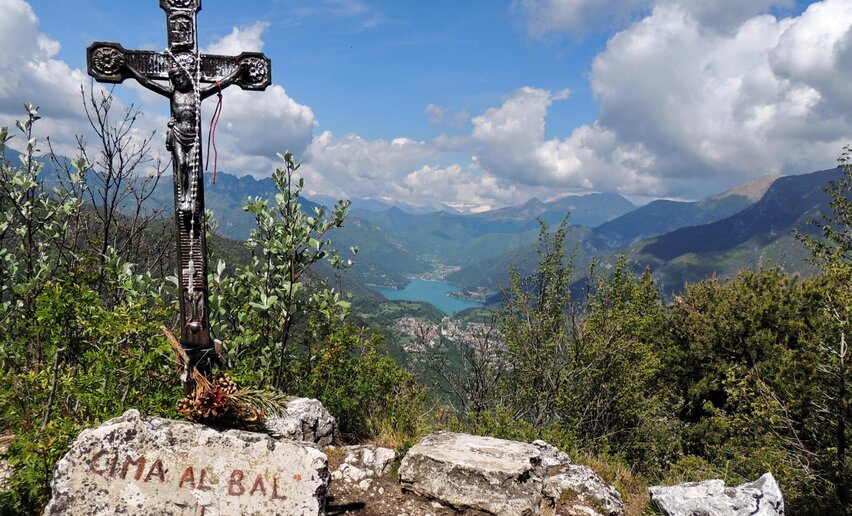 The path runs through the meadows of Leano and Guil and reaches Cima Nara and Cima Bal, which offer spectacular views over Valle di Ledro and Lake Garda.
![]() Difficulty: DifficultPrè
Difficulty: DifficultPrè
-
Laghel, echoes of literature and religious devotion
Hiking trail+ INFO (GPX KML)Duration: h 1:50Length: 5,5kmAscent: 222m
 A trail which winds along the Stations of the Cross celebrated in the poetry of R. M. Rilke
![]() Difficulty: EasyArco
Difficulty: EasyArco
-
Madonna delle ferle
Mountain tour+ INFO (GPX KML)Duration: h 2:00Length: 5,3kmAscent: 196m
 Easy and short, but nonetheless very satisfying, route, which unveils a less known corner of Valle di Ledro.
 ![]() Difficulty: Easy
Difficulty: Easy
-
Monte Colodri - Colt
Mountain tour+ INFO (GPX KML)Duration: h 4:00Length: 10,0kmAscent: 341m
 A hike along the Colodri and Colt ridges, natural balconies overlooking the Sarca Valley. Please note this trail is only for sure-footed experienced hikers!
![]() Difficulty: IntermediateCentre - Arco
Difficulty: IntermediateCentre - Arco
-
Val Concei
Hiking trail+ INFO (GPX KML)Duration: h 2:30Length: 8,5kmAscent: 143m
 The Val Concei naturalistic path is surrounded by nature.
![]() Difficulty: EasyLenzumo
Difficulty: EasyLenzumo
-
Gorg d'Abiss
Hiking trail+ INFO (GPX KML)Duration: h 1:00Length: 1,4kmAscent: 121m
 Perfect route for families with children looking for a light and quiet walk but not wanting to renounce to a dash of outdoor adventure.
![]() Difficulty: EasyTiarno di Sotto
Difficulty: EasyTiarno di Sotto
-
Giro della Madonnina di Besta
Mountain tour+ INFO (GPX KML)Duration: h 2:30Length: 6,5kmAscent: 385m
 One doesn’t need to climb the mountains of Valle di Ledro to enjoy a breathtaking view over Lake Ledro. The Madonnina of Besta dominates the village below and encompasses at a glance the whole of Lake Ledro.
![]() Difficulty: IntermediateMolina di Ledro, Pile-Dwelling Museum
Difficulty: IntermediateMolina di Ledro, Pile-Dwelling Museum
-
Path of the Defensionmauer
Mountain tour+ INFO (GPX KML)Duration: h 5:00Length: 8,8kmAscent: 383m
 The “Defensionmauer” was the defensive wall built before WWI in the area of Sperone against possible attacks by the Italian infantry and was armed with machine guns.
 ![]() Difficulty: IntermediateVia Monte Oro - Riva del Garda
Difficulty: IntermediateVia Monte Oro - Riva del Garda
-
GardaTrek - Medium Loop 2: from the Rifugio San Pietro hut to Ceniga
Mountain tour+ INFO (GPX KML)Duration: h 6:20Length: 12,9kmAscent: 995m
 A long, downhill hike towards the Sarca Valley from the thick woods of Monte Calino to the orchards surrounding Ceniga, just beside the shore of river Sarca.
 ![]() Difficulty: DifficultMountain hut Rifugio San Pietro - Monte Calino
Difficulty: DifficultMountain hut Rifugio San Pietro - Monte Calino
-
Loop around Pregasina: Punta Larici and Malga Palaer
Mountain tour+ INFO (GPX KML)Duration: h 3:30Length: 6,5kmAscent: 441m
 Loop that leads from Pregasina to Punta Larici, an incredible lookout point overlooking Lake Garda, passing along the "Senter de la Costa"
 ![]() Difficulty: IntermediatePregasina
Difficulty: IntermediatePregasina
-
Colle di Santo Stefano
Hiking trail+ INFO (GPX KML)Duration: h 0:30Length: 1,1kmAscent: 33m
 On the traces of history… To the discovery of the war facts which have affected Valle di Ledro in the last two centuries.
![]() Difficulty: EasyBezzecca
Difficulty: EasyBezzecca
-
GardaTrek - Medium Loop: 4 stages around Garda Trentino
Mountain tour+ INFO (GPX KML)Duration: h 29:05Length: 72,6kmAscent: 1.033m
 4 stages hikeable all year round, from the lake shore to more than 1000 m. a.s.l., from Mediterranean vegetation to Alpine woods: one loop, all the variety of Garda Trentino!
![]() Difficulty: IntermediateRiva del Garda - via Monte Oro
Difficulty: IntermediateRiva del Garda - via Monte Oro
-
GardaTrek Medium Loop 1: from Riva del Garda to Rifugio San Pietro
Mountain tour+ INFO (GPX KML)Duration: h 7:30Length: 17,2kmAscent: 887m
 Start out with a hike through the valleys and mountain hamlets of Garda Trentino on little-frequented trails and country lanes and enjoyed the quietness of the route.
![]() Difficulty: DifficultRiva del Garda - via Monte Oro
Difficulty: DifficultRiva del Garda - via Monte Oro
-
Monte Corno: the balcony above Lake Ledro
Mountain tour+ INFO (GPX KML)Duration: h 6:30Length: 14,3kmAscent: 1.027m
 From lake to mountain passing by the little church of San Martino, once a hermitage.
![]() Difficulty: IntermediateCar Park, Via Nuova, Pieve
Difficulty: IntermediateCar Park, Via Nuova, Pieve
-
Garda Trek - Medium Loop 4: From Bolognano to Riva del Garda
Mountain tour+ INFO (GPX KML)Duration: h 8:25Length: 23,1kmAscent: 636m
 Now you have explored the inland area, the trek turns south again, towards the shores of lake Garda, which dominates the last stretch of the GardaTrek Medium Loop
![]() Difficulty: IntermediateBolognano
Difficulty: IntermediateBolognano
-
GardaTrek - Medium Loop 3: from Ceniga to Bolognano
Mountain tour+ INFO (GPX KML)Duration: h 8:20Length: 19,8kmAscent: 713m
 Between the Sarca Valley and the slopes of Monte Stivo, this stage of GardaTrek Medium Loop crosses some of the lesser known but equally charming areas of Garda Trentino
![]() Difficulty: IntermediateCeniga
Difficulty: IntermediateCeniga
-
Hidden Treasures: The Heart of Dro, in the Sarca valley
Hiking trail+ INFO (GPX KML)Duration: h 1:20Length: 4,9kmAscent: 63m
 An easy walk around Dro, a small town in the Sarca Valley, from the central town square to the chapel of Sant'Abbondio on the hill of the same name
![]() Difficulty: EasyDro - Piazza Repubblica
Difficulty: EasyDro - Piazza Repubblica
-
Walking up to the Castle of Arco
Hiking trail+ INFO (GPX KML)Duration: h 1:00Length: 2,9kmAscent: 109m
 A short urban trail to discover the historic centre of Arco, perfect for anybody on their first visit to Garda Trentino who wants to find out more about the town.
![]() Difficulty: EasyArco - city center
Difficulty: EasyArco - city center
-
Treasures of Sacral Art in Arco
Hiking trail+ INFO (GPX KML)Duration: h 2:35Length: 9,7kmAscent: 77m
 An easy itinerary which focuses on the historic frescoed churches around Arco, little known gems, the perfect walking tour for lovers of art and architecture.
![]() Difficulty: EasyArco - city center
Difficulty: EasyArco - city center
-
Val Algone: discovery trail in Parco Naturale Adamello Brenta
Mountain tour+ INFO (GPX KML)Duration: h 3:30Length: 7,2kmAscent: 277m
 This is an easy walk along the bottom of Val Algone to discover its past: pastures, barns, farmsteads and the glass industry.
![]() Difficulty: IntermediateVal Algone - Parco Naturale Adamello Brenta
Difficulty: IntermediateVal Algone - Parco Naturale Adamello Brenta
-
View from Tremalzo
Hiking trail+ INFO (GPX KML)Duration: h 1:30Length: 4,3kmAscent: 176m
 Easy mountain walk among mugho pines. With the Adamello group in the background.
![]() Difficulty: IntermediateAlbergo Garda
Difficulty: IntermediateAlbergo Garda
-
Sentiero della Fede
Mountain tour+ INFO (GPX KML)Duration: h 3:30Length: 10,1kmAscent: 253m
 A walk through the Bleggio region to discover the surrounding hamlets and places of faith: from quaint little churches painted by the Baschenis to the majestic church of S. Croce with its Roman crypt and the chapel guarding inside the miraculous cross, passing numerous shrines and prayer corners, signs of an ancient rural world where faith often blended with legends and superstition.
![]() Difficulty: IntermediateGiardino al Sarca di Ponte Arche/Comano Terme
Difficulty: IntermediateGiardino al Sarca di Ponte Arche/Comano Terme
-
The path through the chestnut grove of Drena
Mountain tour+ INFO (GPX KML)Duration: h 1:44Length: 4,2kmAscent: 209m
 Educational path dedicated to the local culture of the chestnut, in the “maroneri” chestnut grove.
![]() Difficulty: EasyDrena - Town Center
Difficulty: EasyDrena - Town Center
-
The "Blue Line" of Garda Trentino
Mountain tour+ INFO (GPX KML)Duration: h 5:20Length: 15,2kmAscent: 200m
 A historic itinerary which follows the 1945 line of fortifications from the lakeshore of Riva di Garda to Nago-Torbole.
![]() Difficulty: IntermediateRiva del Garda
Difficulty: IntermediateRiva del Garda
-
Arca di Fraporte
Mountain tour+ INFO (GPX KML)Duration: h 4:30Length: 10,4kmAscent: 789m
 It’s hard to explain the emotions one feels while walking through this spectacular natural wonder: the vastness of the cave, the roaring of the waterfalls, the darkness broken here and there by bright light beams penetrating the cave and the sounds of nature echoing all around.
![]() Difficulty: IntermediateStenico
Difficulty: IntermediateStenico
-
Sass de Santa Cros
Mountain tour+ INFO (GPX KML)Duration: h 2:40Length: 7,2kmAscent: 337m
 This short excursion, suitable for everyone, is ideal for beginners who wish to discover everything that mountain can offer.
![]() Difficulty: IntermediateSanta Croce
Difficulty: IntermediateSanta Croce
-
Garda Trek - LowLoop 2: from Arco to Riva del Garda
Mountain tour+ INFO (GPX KML)Duration: h 7:10Length: 19,2kmAscent: 241m
 The second stage of the Low Loop takes you back to Riva del Garda, touching on Nago and Torbole, then following the lake shore to the point you started from, exploring the eastern shore of Garda Trentino.
![]() Difficulty: IntermediateArco - city center
Difficulty: IntermediateArco - city center
-
GardaTrek - Low Loop 1: from Riva del Garda to Arco
Mountain tour+ INFO (GPX KML)Duration: h 5:20Length: 14,0kmAscent: 424m
 The first stage of the trek links the two main towns in Garda Trentino and takes you from Riva del Garda to Arco.
![]() Difficulty: IntermediateRiva del Garda - via Monte Oro
Difficulty: IntermediateRiva del Garda - via Monte Oro
-
Lakeside walk
Hiking trail+ INFO (GPX KML)Duration: h 1:30Length: 9,8kmAscent: 43m
 Easy walk on the northern shore of Lake Ledro, through the villages of Pieve and Mezzolago to the Pile-Dwelling Museum of Lake Ledro.
![]() Difficulty: EasyPieve di Ledro
Difficulty: EasyPieve di Ledro
-
Rilke Promenade
Hiking trail+ INFO (GPX KML)Duration: h 2:15Length: 7,1kmAscent: 137m
 A literary stroll in the shadow of Arco Castle, following in the footsteps of the great Austrian poet Rainer Maria Rilke, who drew inspiration from these surroundings.
 ![]() Difficulty: EasyArco - city center
Difficulty: EasyArco - city center
-
Garda Trek - Low Loop: in the heart of Garda Trentino
Mountain tour+ INFO (GPX KML)Duration: h 12:25Length: 32,4kmAscent: 450m
 GardaTrek Low Loop is an easy trek which allows you to explore the "Busa", the lowland area of Garda Trentino overlooking Lake Garda, and its main towns which are Riva del Garda, Tenno, Arco, Nago and Torbole sul Garda.
![]() Difficulty: IntermediateRiva del Garda - via Monte Oro
Difficulty: IntermediateRiva del Garda - via Monte Oro
-
Ai piedi del Monte Casale
Hiking trail+ INFO (GPX KML)Duration: h 1:45Length: 5,6kmAscent: 226m
 A beautiful walk across Lomaso highland, through pastures, orchards and thick woodland that leads to the foot of Mount Casale.
 ![]() Difficulty: EasyPoia
Difficulty: EasyPoia
-
Ledro Trek Medium - Stage 1
Mountain tour+ INFO (GPX KML)Duration: h 5:00Length: 11,0kmAscent: 761m
 Ledro Trek Medium is a two-day trek along mountainside trails overlooking Lake Ledro. Highlights of the first stage: Wonderful views of Lake Ledro, village centre of Pieve, Monte Cocca, Madonnina di Besta, sanctuary of the Madonna de le ferle.
![]() Difficulty: IntermediatePieve
Difficulty: IntermediatePieve
-
Potato Trail
Hiking trail+ INFO (GPX KML)Duration: h 1:45Length: 7,6kmAscent: 156m
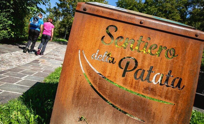 “Sentiero della Patata”, the Potato Trail, runs through the farmland where this typical mountain product grows. Along the route you can admire from above the Lomaso highland, the land of potatoes, rich in history, tradition and rural charm.
 ![]() Difficulty: EasyVigo Lomaso
Difficulty: EasyVigo Lomaso
-
The walnut trail
Hiking trail+ INFO (GPX KML)Duration: h 2:30Length: 9,6kmAscent: 182m
 “Sentiero della noce”, the walnut trail, runs across the Bleggio area, where for centuries people have been growing walnut trees, the typical product of the valley endorsed by the Slow Food movement. The walnut is the heart of this territory, characterized by a picturesque scenery peppered with historic rural hamlets, and the itinerary reveals tucked-away corners and lanes off the beaten path.
![]() Difficulty: EasySanta Croce
Difficulty: EasySanta Croce
-
A hike around Monte Calino, the mountain of Tenno
Mountain tour+ INFO (GPX KML)Duration: h 4:52Length: 11,1kmAscent: 619m
 This hike is all about Monte Calino, close to Tenno. It is like a natural balcony overlooking the Busa, as locals call the Basso Sarca plain, and lake Garda.
![]() Difficulty: IntermediateTenno
Difficulty: IntermediateTenno
-
The summit of Monte Brento
Mountain tour+ INFO (GPX KML)Duration: h 4:31Length: 11,1kmAscent: 470m
 This trail overlooking the Sarca Valley is for those who like to hike off the beaten track in unspoilt natural surroundings
![]() Difficulty: IntermediateCar park at San Giovanni’s alpine hut
Difficulty: IntermediateCar park at San Giovanni’s alpine hut
-
Giro delle cime - Half tour
Mountain tour+ INFO (GPX KML)Duration: h 8:00Length: 17,5kmAscent: 1.260m
 Less demanding version of the Giro delle cime. For those who don’t want to miss the wonderful landscapes of the mountains of Val Concei.
![]() Difficulty: DifficultLocality of Perigol - Val Concei
Difficulty: DifficultLocality of Perigol - Val Concei
-
On Monte Misonet
Mountain tour+ INFO (GPX KML)Duration: h 3:40Length: 8,5kmAscent: 447m
 This excursion can be completed in half day with some basic training. You will be stunned by the beauty of the forest, the leafy vegetation and the intense ever-changing hues of green.
![]() Difficulty: IntermediateFavrio
Difficulty: IntermediateFavrio
-
Monte Cocca
Mountain tour+ INFO (GPX KML)Duration: h 3:30Length: 8,4kmAscent: 700m
 Route which leads up to the top of Monte Cocca, offering a beautiful view over Lake Ledro and the villages on the valley floor.
![]() Difficulty: IntermediatePieve di Ledro
Difficulty: IntermediatePieve di Ledro
-
On the summit of Monte Misone
Mountain tour+ INFO (GPX KML)Duration: h 4:15Length: 8,2kmAscent: 857m
 Monte Misone is a solitary peak on the north-west end of Lake Garda. Perhaps it is less well-known than the other mountains around the lake but the panorama from its summit is a memory you will treasure forever.
![]() Difficulty: IntermediateCar park by Calino
Difficulty: IntermediateCar park by Calino
-
Monte Stivo
Mountain tour+ INFO (GPX KML)Duration: h 4:00Length: 9,7kmAscent: 830m
 Monte Stivo dominates Garda Trentino, and from its summit you have one of the most spectacular views over Lake Garda and the surrounding valleys.
![]() Difficulty: IntermediateSant'Antonio
Difficulty: IntermediateSant'Antonio
-
The meadows of Legos
Hiking trail+ INFO (GPX KML)Duration: h 1:00Length: 5,0kmAscent: 126m
 This walk unwinding through the woods and meadows of Legos reveals a less well known and less well-trodden corner of Valle di Ledro, which is just nonetheless as fascinating.
![]() Difficulty: EasyMolina di Ledro, Pile-Dwelling Museum
Difficulty: EasyMolina di Ledro, Pile-Dwelling Museum
-
Bocca Caset. Flying over the Alps
Mountain tour+ INFO (GPX KML)Duration: h 2:00Length: 4,6kmAscent: 231m
 This route is ideal for families with children: it’s short, it’s undemanding and it’s got a nice treat at the end!
 ![]() Difficulty: EasyRifugio Garibaldi
Difficulty: EasyRifugio Garibaldi
-
Hike to Rifugio San Pietro
Mountain tour+ INFO (GPX KML)Duration: h 2:45Length: 5,2kmAscent: 509m
 Hike to the mountain hut with the most envied panoramic terrace in the upper Garda.
![]() Difficulty: IntermediateTenno
Difficulty: IntermediateTenno
-
Garda Trek - Top Loop 1: from Riva del Garda to Rifugio Pernici
Long distance hiking trail+ INFO (GPX KML)Duration: h 7:00Length: 13,7kmAscent: 1.706m
 This stage counts nearly 1600 metres of elevation gain, from the mediterranean shores of Lake Garda to the alpine peaks between Garda Trentino and Valle di Ledro.
 ![]() Difficulty: DifficultRiva del Garda - via Monte Oro
Difficulty: DifficultRiva del Garda - via Monte Oro
-
Dromaé - Cima d'Oro
Mountain tour+ INFO (GPX KML)Duration: h 6:00Length: 11,5kmAscent: 1.128m
 Woods, malghe, meadows with expanses of daffodils and peonies in bloom, Austrian trenches and breathtaking views over Lake Ledro are all to be found along the path that leads to Dromaè and Cima d’Oro (i.e. Golden Summit), which owes its name to the colour it takes at sunset.
![]() Difficulty: IntermediateCar park - Via San Michele, Mezzolago
Difficulty: IntermediateCar park - Via San Michele, Mezzolago
-
Sentiero della Maestra- "Teacher's Trail" in Val del Sarca
Mountain tour+ INFO (GPX KML)Duration: h 4:15Length: 11,6kmAscent: 488m
 Hike through the woods which cover the eastern slopes of the Sarca Valley from Bosco Caproni to the little hamlet of Braila, home of the schoolmistress for whom this trail is named
![]() Difficulty: IntermediateMoletta - Arco
Difficulty: IntermediateMoletta - Arco
-
Passo Nota
Mountain tour+ INFO (GPX KML)Duration: h 5:00Length: 14,9kmAscent: 605m
 Passo Nota lies on the border between Trentino and Lombardy. It is an area rich in woods and meadows between the Alto Garda mountains and Tremalzo.
![]() Difficulty: IntermediatePur
Difficulty: IntermediatePur
-
The Great War: along the Segrom ridge to Malga Zures
Mountain tour+ INFO (GPX KML)Duration: h 2:30Length: 5,1kmAscent: 452m
 A hike along the Austro-Hungarian line of defence, the imposing fortifications built at the turn of the Twentieth century to defend the southern border
![]() Difficulty: IntermediateLoc. S. Giuseppe - Nago
Difficulty: IntermediateLoc. S. Giuseppe - Nago
-
Punta Larici, the most spectacular lookout point on Lake Garda
Mountain tour+ INFO (GPX KML)Duration: h 1:45Length: 3,2kmAscent: 366m
 The most popular pic of Lake Garda on Instagram? Most likely it was taken from Punta Larici, an incredible lookout point overlooking the western shore of the lake.
 ![]() Difficulty: IntermediatePregasina
Difficulty: IntermediatePregasina
-
The forts of Monte Brione
Mountain tour+ INFO (GPX KML)Duration: h 3:00Length: 6,1kmAscent: 291m
 An easy trek to explore the Austro-Hungarian border defences along the Sentiero della Pace or Peace Trail
![]() Difficulty: EasyPorto San Nicolò - Riva del Garda
Difficulty: EasyPorto San Nicolò - Riva del Garda
-
Along the equipped trail "del Berghem" to San Martino and Malga Grassi
Mountain tour+ INFO (GPX KML)Duration: h 6:30Length: 17,3kmAscent: 1.041m
 An interesting hike, connecting Riva del Garda to the archaeological site of San Martino. The circular route allows you to continue to Capanna Grassi for the lunch and then return to Riva along the other mountain side
 ![]() Difficulty: IntermediateRiva del Garda - San Giacomo
Difficulty: IntermediateRiva del Garda - San Giacomo
-
Bocca de l'Ussol
Mountain tour+ INFO (GPX KML)Duration: h 4:30Length: 9,1kmAscent: 889m
 Bocca de l’Ussol is the centrepiece of the mountain crown surrounding Val Concei. The Bocca is the northernmost point in Valle di Ledro and it is a natural balcony over the Giudicarie.
![]() Difficulty: IntermediateRifugio Al Faggio
Difficulty: IntermediateRifugio Al Faggio
-
Malga Stabio e Cima Sèra
Mountain tour+ INFO (GPX KML)Duration: h 5:00Length: 12,0kmAscent: 920m
 Panoramic view across some of the best peaks of Trentino, from the Adamello to the Ortles, from the Brenta range to the Alps.
![]() Difficulty: IntermediatePasso Durone
Difficulty: IntermediatePasso Durone
-
From Nago to the summit of Monte Altissimo
Mountain tour+ INFO (GPX KML)Duration: h 4:00Length: 8,6kmAscent: 761m
 Monte Altissimo is one of the most popular destinations with hikers in Garda Trentino who are drawn by its wonderful lake views which change with every bend along the trail.
![]() Difficulty: IntermediatePrati di Nago - Nago
Difficulty: IntermediatePrati di Nago - Nago
-
Summit Tour
Mountain tour+ INFO (GPX KML)Duration: h 11:00Length: 25,8kmAscent: 1.407m
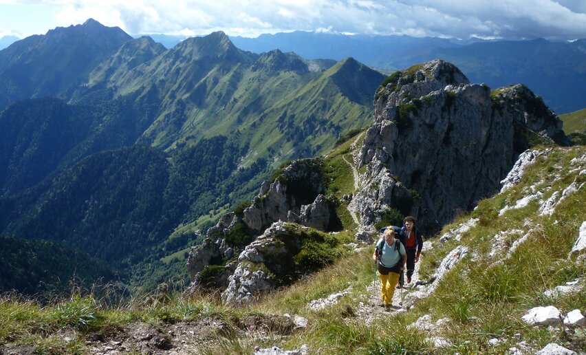 Pichea, Tofino, Doss de la Torta, Gavardina, Corno dei Guì, Corno di Lomar, Roda, Cadria. In Valle di Ledro, if someone talks about the ‘Giro delle cime’ (i.e. Tour of the Mountain Tops), these are the mountains that come to mind, the highest in the valley.
![]() Difficulty: DifficultLocality of Perigol - Val Concei
Difficulty: DifficultLocality of Perigol - Val Concei
-
18. From the Marmitte to Perlone between nature and geology
Mountain tour+ INFO (GPX KML)Duration: h 2:30Length: 7,6kmAscent: 469m
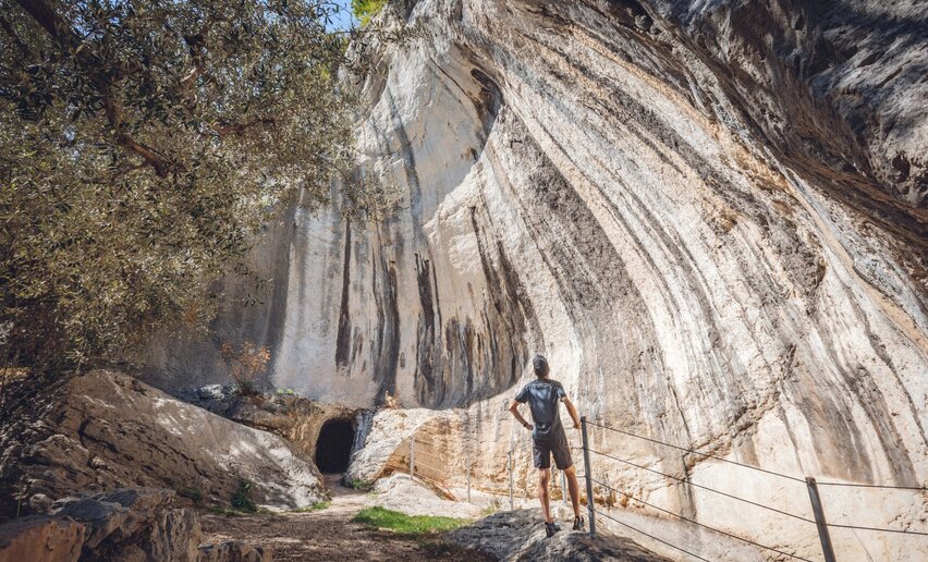 A trail which connects the Marmitte dei Giganti, spectacular geological pothole formations, with the Castagneto di Nago chestnut woods and the trenches of Busa dei Capitani.
 ![]() Difficulty: IntermediateTorbole sul Garda
Difficulty: IntermediateTorbole sul Garda
-
Punta Larici
Mountain tour+ INFO (GPX KML)Duration: h 2:45Length: 7,0kmAscent: 386m
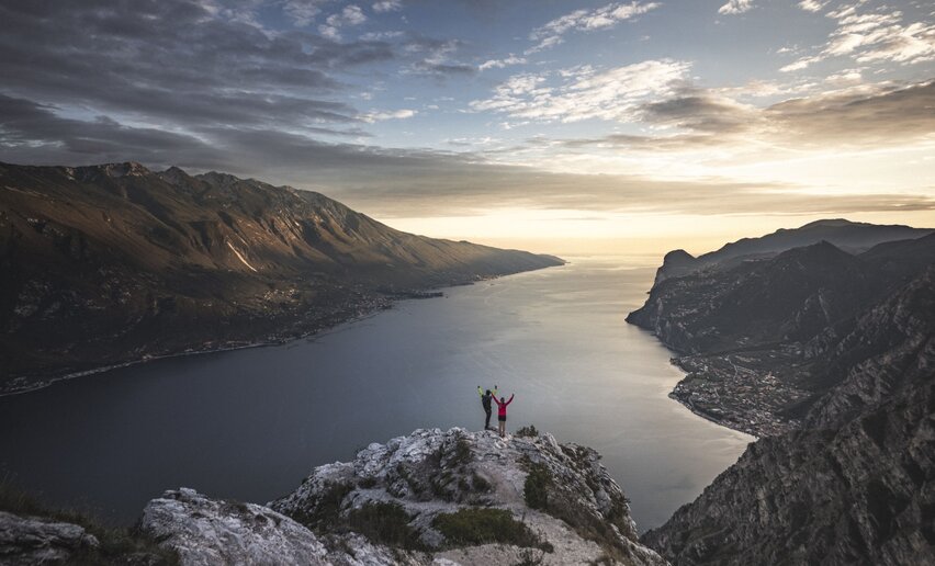 From Punta Larici the eye sweeps from the northern end of Lake Garda, with Riva and Monte Brione, to the south, where the lake widens up. One of the finest views over Lake Garda!
![]() Difficulty: EasyPregasina
Difficulty: EasyPregasina
-
WWI: Monte Corno and Busa dei Capitani
Mountain tour+ INFO (GPX KML)Duration: h 1:45Length: 3,4kmAscent: 316m
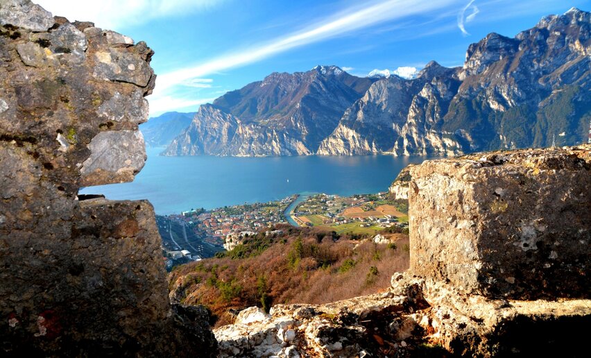 This trail goes to Monte Corno along Stützpunkt Perlone and Busa dei Capitani, some of the strongholds along the Austro-Hungarian front line during the Great War.
![]() Difficulty: EasyNago
Difficulty: EasyNago
-
Stigolo
Mountain tour+ INFO (GPX KML)Duration: h 7:00Length: 15,7kmAscent: 827m
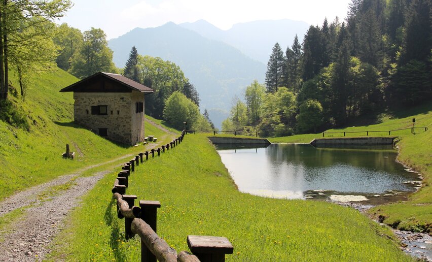 The entrance to the Giudicarie: Monte Stigolo is the watershed between Valle di Ledro and Valle del Chiese and offers beautiful views over both.
 ![]() Difficulty: IntermediateTiarno di Sopra
Difficulty: IntermediateTiarno di Sopra
-
Belvedere of Bezzecca
Mountain tour+ INFO (GPX KML)Duration: h 3:00Length: 7,4kmAscent: 313m
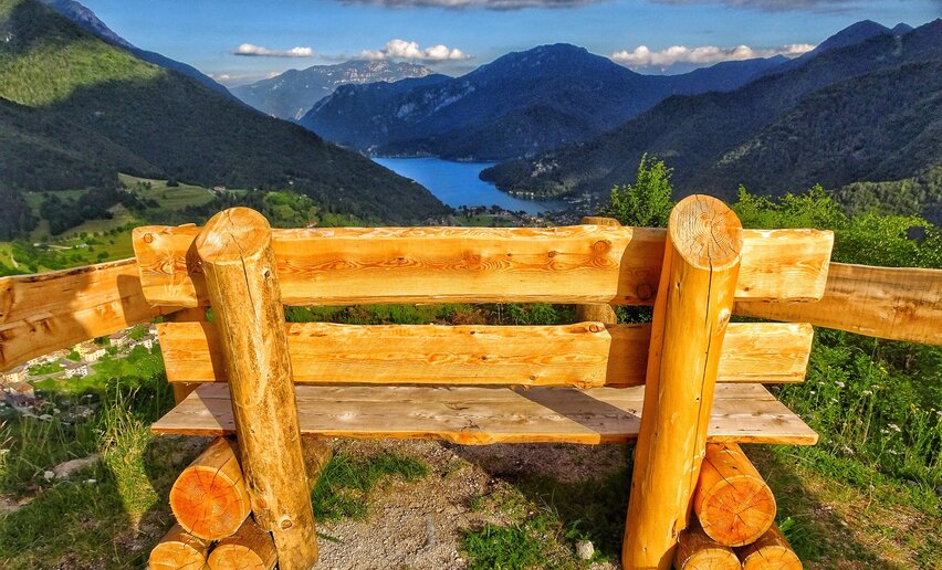 An easy walk which unfolds from the village of Bezzecca through the Val dei Molini and leads up to a beautiful belvedere, a naturale terrace with a view over Lake Ledro.
![]() Difficulty: EasyBezzecca
Difficulty: EasyBezzecca
-
Castel Restor and its hamlets
Hiking trail+ INFO (GPX KML)Duration: h 2:00Length: 5,1kmAscent: 151m
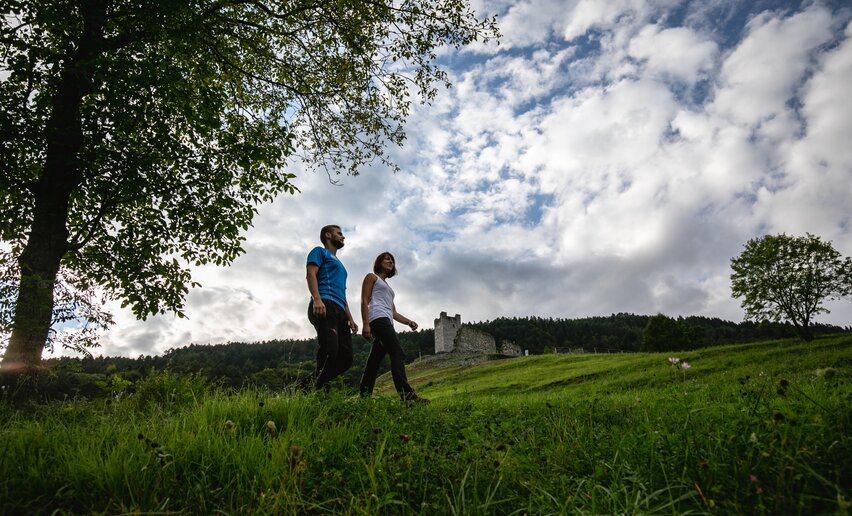 A simple walk to visit what remains of the castle and explore the small surrounding hamlets.
![]() Difficulty: EasyVergonzo, Comano Terme (735 m)
Difficulty: EasyVergonzo, Comano Terme (735 m)
-
Prati di Prada and the Lakes of Lamar
Mountain tour+ INFO (GPX KML)Duration: h 2:30Length: 8,1kmAscent: 161m
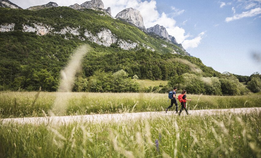 An easy loop which unfolds at the foot of the Paganella massif and ranges from the grassy meadows of Prada to the Carsic lakes of Lamar, with their beautiful green and transparent waters.
![]() Difficulty: EasyMonte Terlago
Difficulty: EasyMonte Terlago
-
Lake Terlago Loop
Hiking trail+ INFO (GPX KML)Duration: h 1:00Length: 3,4kmAscent: 12m
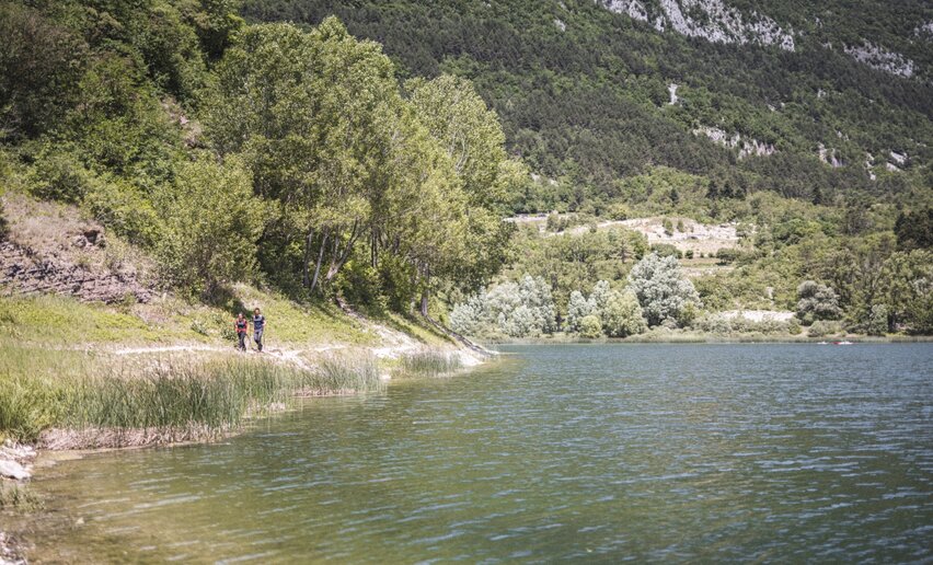 A simple loop around Lake Terlago, with some interesting points in terms of nature.
![]() Difficulty: EasyTerlago
Difficulty: EasyTerlago
-
Monte Gazza: view of the 4 lakes
Mountain tour+ INFO (GPX KML)Duration: h 7:00Length: 13,0kmAscent: 887m
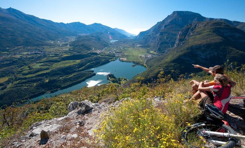 Spectacular route on Monte Gazza with a view over the Valle dei Laghi to Lake Garda
![]() Difficulty: IntermediateMargone
Difficulty: IntermediateMargone
-
Giro del Monte Mezzana
Hiking trail+ INFO (GPX KML)Duration: h 2:30Length: 8,0kmAscent: 171m
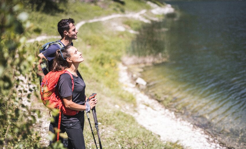 A hike suitable for everyone, through the woods on Monte Mezzana, between the villages of Terlago and Covelo.
![]() Difficulty: EasyCovelo
Difficulty: EasyCovelo
-
Tour of the four hamlets
Hiking trail+ INFO (GPX KML)Duration: h 2:00Length: 6,9kmAscent: 240m
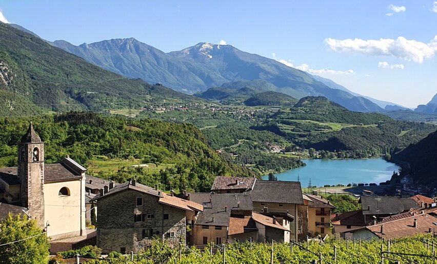 A simple walk that takes you through the four hamlets of Vezzano, Fraveggio, Lon, and Ciago in the upper Valle dei Laghi.
![]() Difficulty: EasyVezzano
Difficulty: EasyVezzano
-
Cavedine Archaeological Trail
Hiking trail+ INFO (GPX KML)Duration: h 1:00Length: 3,9kmAscent: 90m
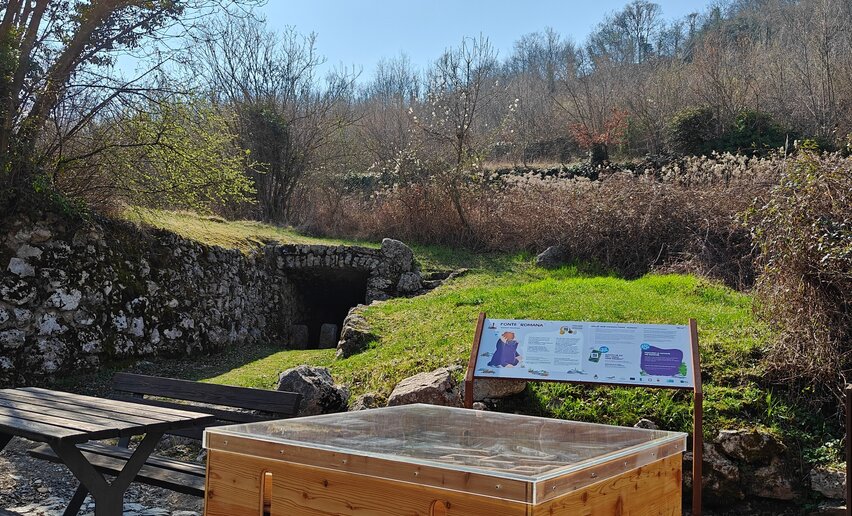 The Cavedine Archaeological Trail is a route over dirt track that, through sites and archaeological finds, allows you to reconstruct the historical events over the centuries in Valle dei Laghi.
![]() Difficulty: EasyCavedine
Difficulty: EasyCavedine
-
Antonio Stoppani Geological Trail
Hiking trail+ INFO (GPX KML)Duration: h 1:50Length: 4,9kmAscent: 121m
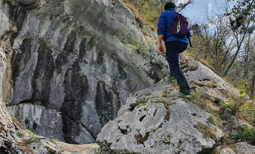 An easy trail near the village of Vezzano to discover 10 wells formed by glaciers.
![]() Difficulty: EasyVezzano
Difficulty: EasyVezzano
-
Nosiola Trail 2
Mountain tour+ INFO (GPX KML)Duration: h 2:00Length: 7,2kmAscent: 129m
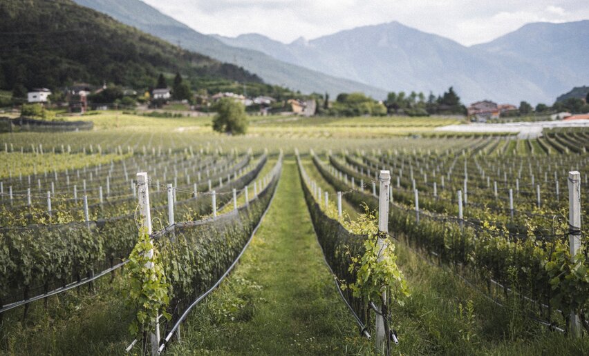 Second stage of the Nosiola Trail, between Lasino and Calavino.
![]() Difficulty: EasyParcheggio Falesia S. Siro
Difficulty: EasyParcheggio Falesia S. Siro
-
Covelo - Bait del Germano
Mountain tour+ INFO (GPX KML)Duration: h 6:25Length: 14,3kmAscent: 1.226m
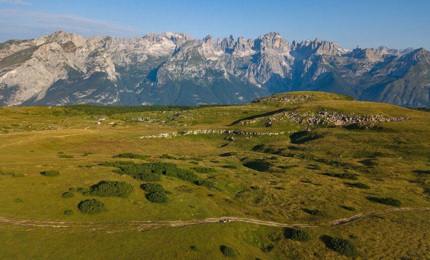 Long hike from Covelo to the Bait del Germano.
![]() Difficulty: DifficultCovelo
Difficulty: DifficultCovelo
-
Nosiola Trail 3
Mountain tour+ INFO (GPX KML)Duration: h 3:45Length: 10,3kmAscent: 268m
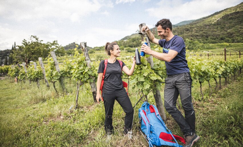 Third stage of the Nosiola Trail, between Lake Cavedine and Cavedine.
![]() Difficulty: EasyLake Cavedine
Difficulty: EasyLake Cavedine
-
The Calavino Water Channel
Hiking trail+ INFO (GPX KML)Duration: h 1:15Length: 3,8kmAscent: 157m
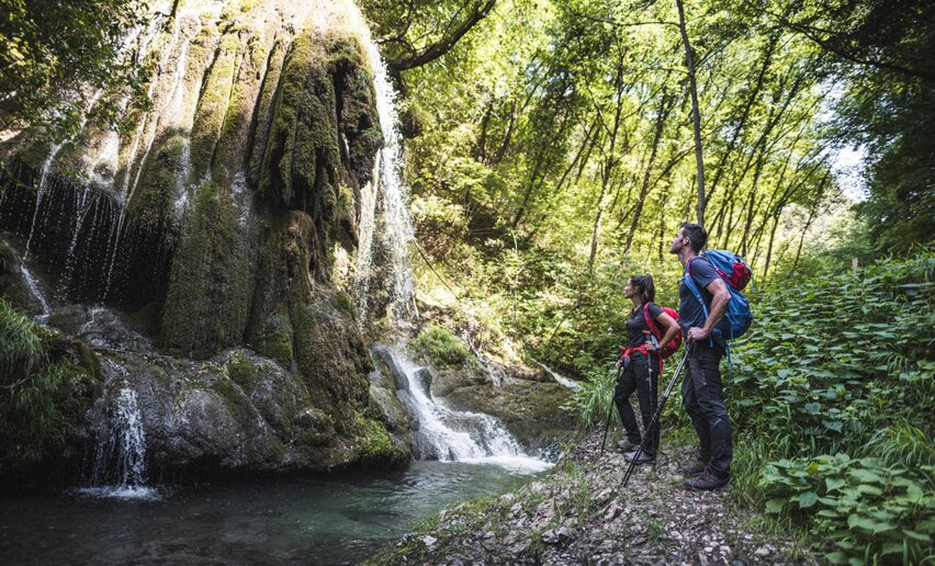 The Roggia di Calavino trail is a route through the narrow Canevai gorge between Dosfolòn and Casai, which was made accessible in the late 1990s.
![]() Difficulty: IntermediateLocalità Due Laghi
Difficulty: IntermediateLocalità Due Laghi
-
Mount Terlago - Paganella summit
Mountain tour+ INFO (GPX KML)Duration: h 6:35Length: 12,2kmAscent: 1.352m
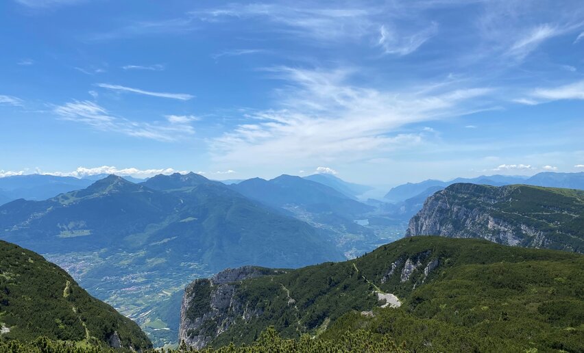 A long, difficult route from Monte Terlago to the top of Paganella.
![]() Difficulty: DifficultMonte Terlago
Difficulty: DifficultMonte Terlago
-
Nosiola Trail 1
Mountain tour+ INFO (GPX KML)Duration: h 3:00Length: 12,1kmAscent: 86m
 A walk through the cultivations of Nosiola, an indigenous grape variety of the Valle dei Laghi whose grapes are dried on special racks (called arèles) to produce Vino Santo Trentino.
![]() Difficulty: EasyDue Laghi
Difficulty: EasyDue Laghi
-
Trekking to Cima Bal and Cima Nara
Mountain tour+ INFO (GPX KML)Duration: h 4:55Length: 10,2kmAscent: 812m
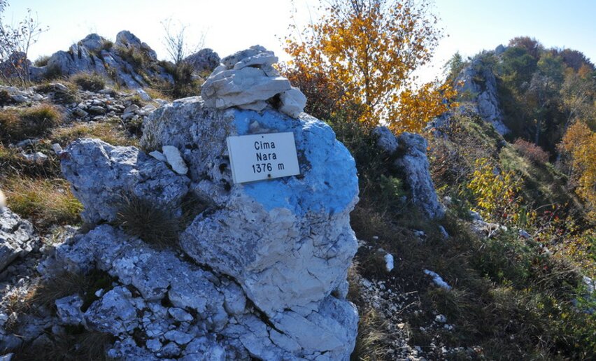 Trekking along the ridges above Pregasina with a view of Lakes Garda and Ledro.
 ![]() Difficulty: IntermediatePregasina
Difficulty: IntermediatePregasina
-
Cammino San Vili - low itinerary
Long distance hiking trail+ INFO (GPX KML)Duration: h 35:00Length: 107,6kmAscent: 1.327m
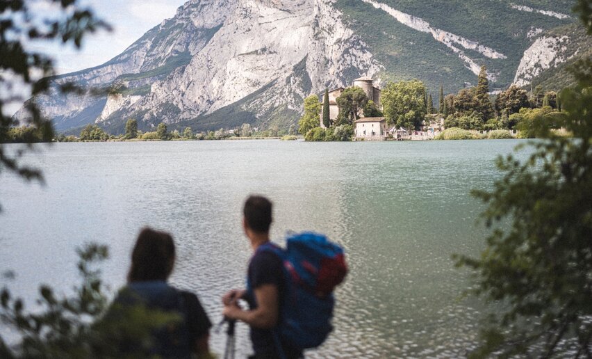 The Cammino di San Vili is named after Saint Vigilio, bishop and patron saint of Trento, who, according to the legend, evangelised the inhabitants of the settlements on this way in the 4th century. The Way runs along the breath-taking mountains of the Brenta Group, reveals wonderful natural landscapes where water and stone intertwine, goes through fascinating villages with ancient traditions and excellent local food.
![]() Difficulty: DifficultMadonna di Campiglio
Difficulty: DifficultMadonna di Campiglio
-
Cammino di San Vili - High itinerary
Long distance hiking trail+ INFO (GPX KML)Duration: h 40:00Length: 92,7kmAscent: 1.428m
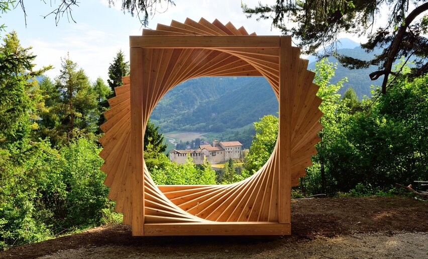 The Cammino di San Vili is named after Saint Vigilio, bishop and patron saint of Trento, who, according to the legend, evangelised the inhabitants of the settlements on this way in the 4th century. The Way runs along the breath-taking mountains of the Brenta Group, reveals wonderful natural landscapes where water and stone intertwine, goes through fascinating villages with ancient traditions and excellent local food.
![]() Difficulty: DifficultMadonna di Campiglio
Difficulty: DifficultMadonna di Campiglio
-
Sentiero Frassati - Leg 1
Long distance hiking trail+ INFO (GPX KML)Duration: h 3:20Length: 6,5kmAscent: 886m
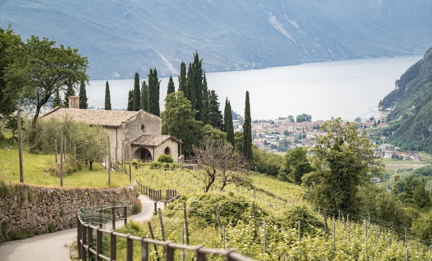 The Sentiero Frassati in Trentino unfolds over seven legs, from the church of the Madonna delle Grazie to the Sanctuary of San Romedio, along dirts roads, paths and mule tracks suitable to all hikers.
![]() Difficulty: IntermediateSantuario della Madonna delle Grazie
Difficulty: IntermediateSantuario della Madonna delle Grazie
-
Sentiero Frassati - Leg 2
Long distance hiking trail+ INFO (GPX KML)Duration: h 8:40Length: 23,3kmAscent: 766m
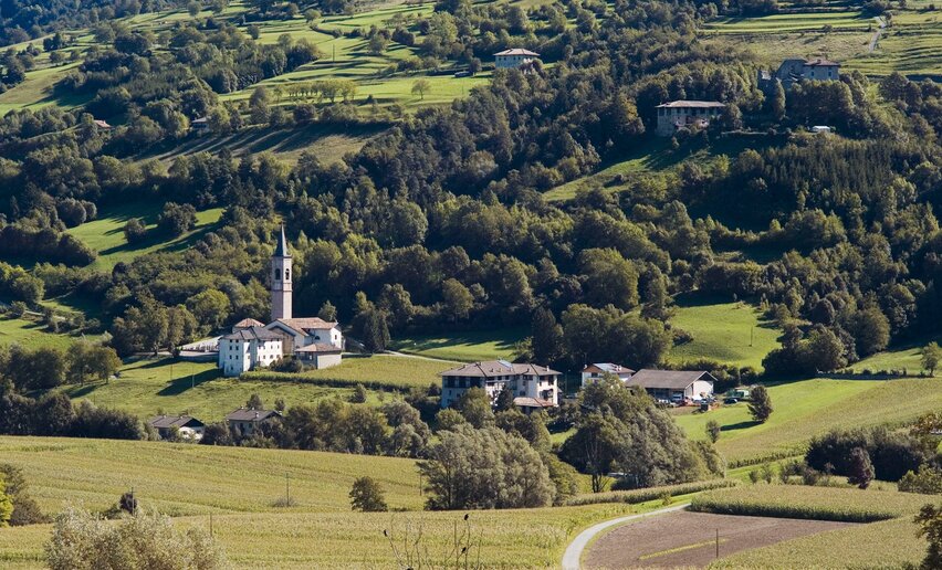 The Sentiero Frassati in Trentino unfolds over seven legs, from the church of the Madonna delle Grazie to the Sanctuary of San Romedio, along dirts roads, paths and mule tracks suitable to all hikers.
![]() Difficulty: IntermediateRifugio San Pietro
Difficulty: IntermediateRifugio San Pietro
-
Campo Lomaso, the Roman Bridge and Castel Spine
Hiking trail+ INFO (GPX KML)Duration: h 2:07Length: 7,2kmAscent: 157m
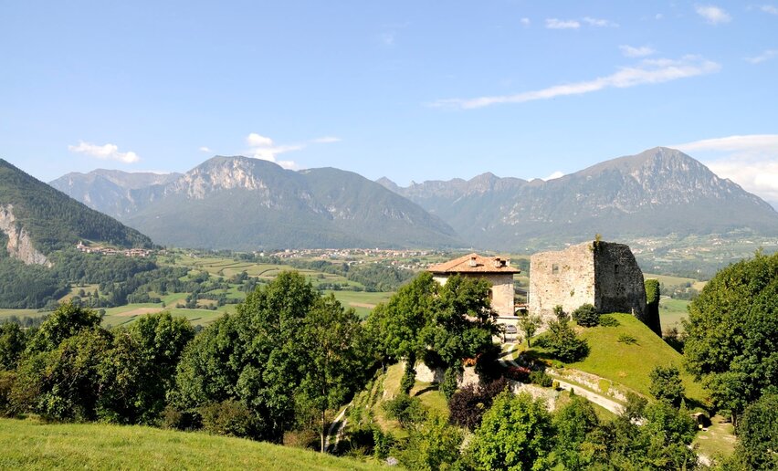 A walk through the Lomaso plain, past castles, churches and fields of potatoes and wheat.
![]() Difficulty: EasyCampo Lomaso
Difficulty: EasyCampo Lomaso
-
Belvedere Pezol
Mountain tour+ INFO (GPX KML)Duration: h 3:20Length: 7,0kmAscent: 606m
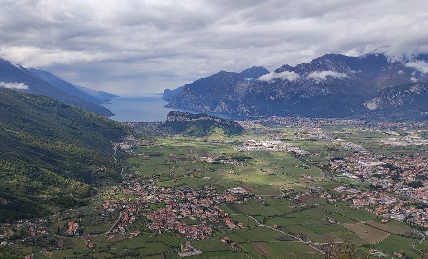 A loop trail that’s perfect even in winter, with breathtaking views over the Busa and Lake Garda from the Pezol viewpoint
![]() Difficulty: IntermediateMassone - Football field
Difficulty: IntermediateMassone - Football field
-
Monte Creino
Mountain tour+ INFO (GPX KML)Duration: h 1:10Length: 4,0kmAscent: 124m
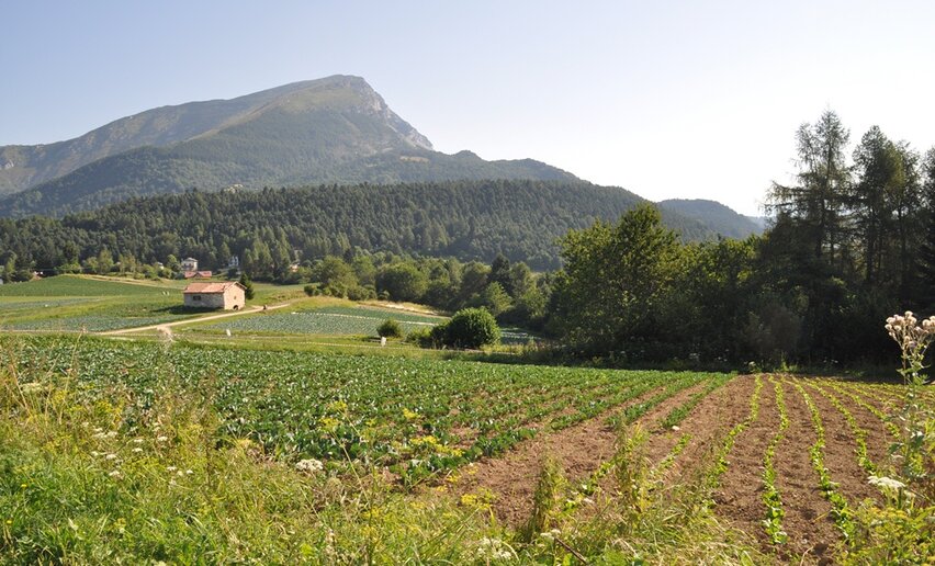 From the defence lines at the peak, a spectacular terrace overlooking Lago di Garda.
![]() Difficulty: Easylocalità Santa Barbara
Difficulty: Easylocalità Santa Barbara
-
Walk to Malga Somator with kids
Hiking trail+ INFO (GPX KML)Duration: h 0:35Length: 2,1kmAscent: 67m
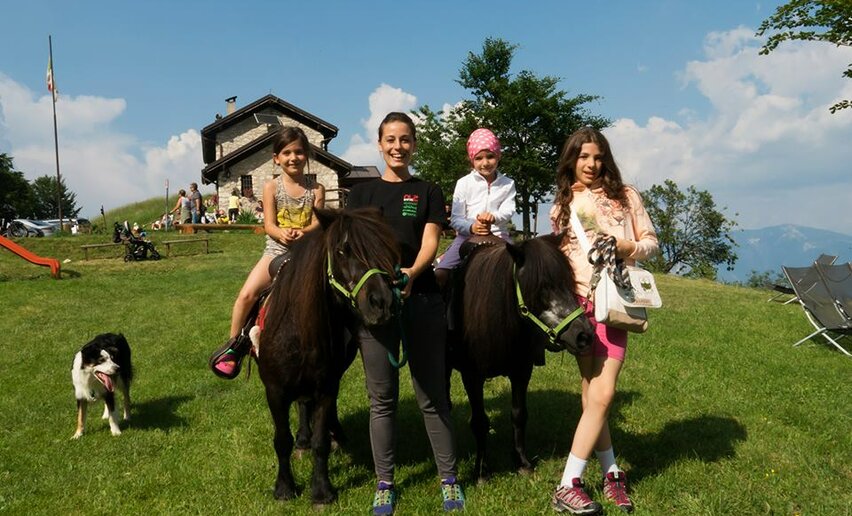 Easy panoramic walk through the cultivated fields of Val di Gresta to Malga Somator.
![]() Difficulty: EasyPasso Bordala
Difficulty: EasyPasso Bordala
-
The San Rocco Path
Long distance hiking trail+ INFO (GPX KML)Duration: h 23:25Length: 67,4kmAscent: 1.132m
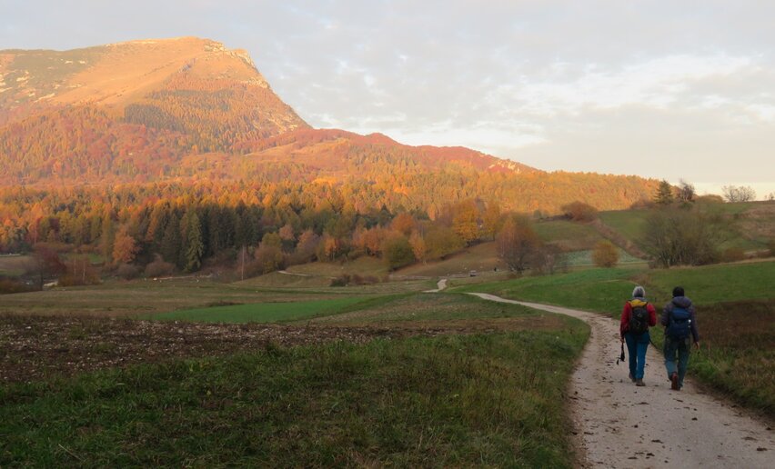 A journey made of people and encounters, where history, culture, and nature intertwine along ancient paths and small welcoming inhabited centers.
![]() Difficulty: DifficultMori, city center
Difficulty: DifficultMori, city center
-
Ascent to Monte Stivo
Mountain tour+ INFO (GPX KML)Duration: h 6:21Length: 14,5kmAscent: 783m
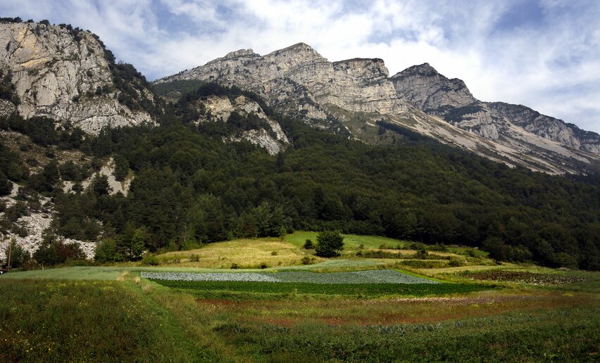 A loop from Lago di Garda to the Dolomites with amazing panoramas
![]() Difficulty: IntermediatePasso Bordala
Difficulty: IntermediatePasso Bordala
-
From Passo Bordala to Monte Biaena
Mountain tour+ INFO (GPX KML)Duration: h 1:40Length: 3,7kmAscent: 354m
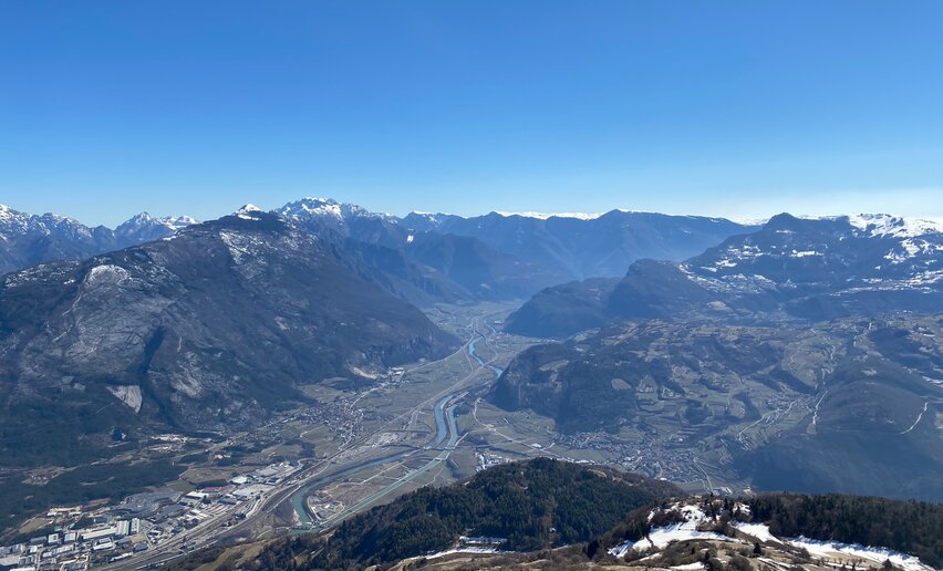 Panoramic walk on mixed terrain between asphalt and rocky slabs, with views of the Val di Gresta, Lake Garda and Vallagarina.
![]() Difficulty: EasyAlbergo Passo Bordala
Difficulty: EasyAlbergo Passo Bordala
-
Sentiero della Pace 9: Rifugio Pernici to Riva del Garda
Mountain tour+ INFO (GPX KML)Duration: h 5:50Length: 18,3kmAscent: 1.716m
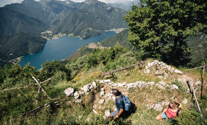 Sentiero della Pace
![]() Difficulty: IntermediateMalga Trat- Rifugio Pernici
Difficulty: IntermediateMalga Trat- Rifugio Pernici
-
Sentiero della Pace 11: Torbole - Nago to Rifugio Damiano Chiesa
Mountain tour+ INFO (GPX KML)Duration: h 6:25Length: 11,1kmAscent: 1.842m
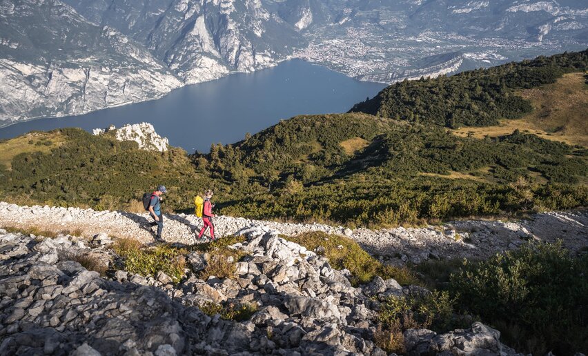 Sentiero della Pace
![]() Difficulty: DifficultNago
Difficulty: DifficultNago
-
Sentiero della Pace 10: Riva del Garda to Torbole-Nago
Mountain tour+ INFO (GPX KML)Duration: h 1:55Length: 6,4kmAscent: 159m
 Sentiero della Pace
![]() Difficulty: EasyRiva del Garda
Difficulty: EasyRiva del Garda
-
Olive Trail
Mountain tour+ INFO (GPX KML)Duration: h 3:00Length: 7,2kmAscent: 142m
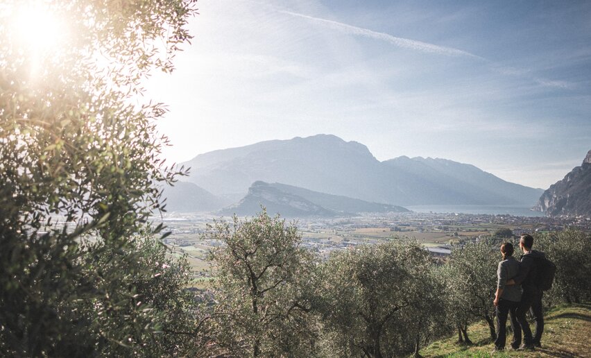 In Garda Trentino the cultivation of olives has a millenary tradition and olive oil has always represented a great wealth: the Olive Trail is a tribute to their history and value.
![]() Difficulty: EasyArco
Difficulty: EasyArco
-
Lake Cavedine loop
Hiking trail+ INFO (GPX KML)Duration: h 2:00Length: 7,8kmAscent: 68m
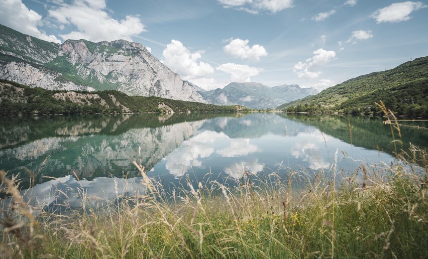 Loop route around Lake Cavedine
 ![]() Difficulty: IntermediateLake Cavedine
Difficulty: IntermediateLake Cavedine
-
Through the olive groves of Brione
Hiking trail+ INFO (GPX KML)Duration: h 1:20Length: 4,2kmAscent: 169m
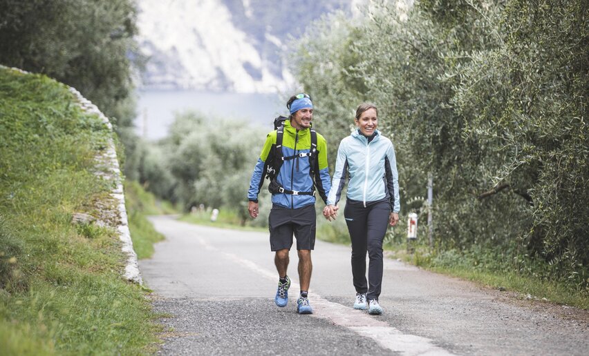 A captivating walk through the Olive Grove of Monte Brione, where nature and history come together to offera unique experience surrounded by lush greenery.
![]() Difficulty: EasyRiva del Garda - Porto San Nicolò
Difficulty: EasyRiva del Garda - Porto San Nicolò
-
La Giazzera della Val di Gresta
Hiking trail+ INFO (GPX KML)Duration: h 1:35Length: 5,4kmAscent: 185m
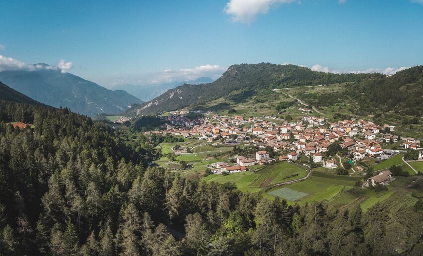 Trail leading from the center of Ronzo to the Giazzera in Val di Gresta, a cave where ice forms during the summer.
![]() Difficulty: EasyRonzo Chienis
Difficulty: EasyRonzo Chienis
-
The Lost Tale - The enchanted forest
Hiking trail+ INFO (GPX KML)Duration: h 1:30Length: 3,1kmAscent: 154m
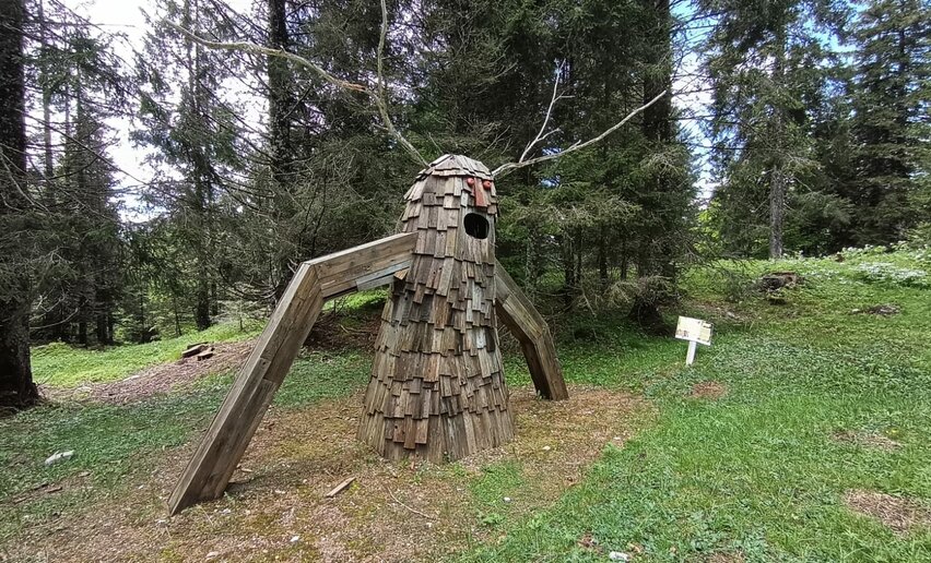 Easy trail exploring the pastures and woods of Tremalzo, featuring wooden installations along the way.
![]() Difficulty: EasyCentro Visitatori Tremalzo
Difficulty: EasyCentro Visitatori Tremalzo
-
Sentiero della Lasta
Mountain tour+ INFO (GPX KML)Duration: h 3:55Length: 7,8kmAscent: 587m
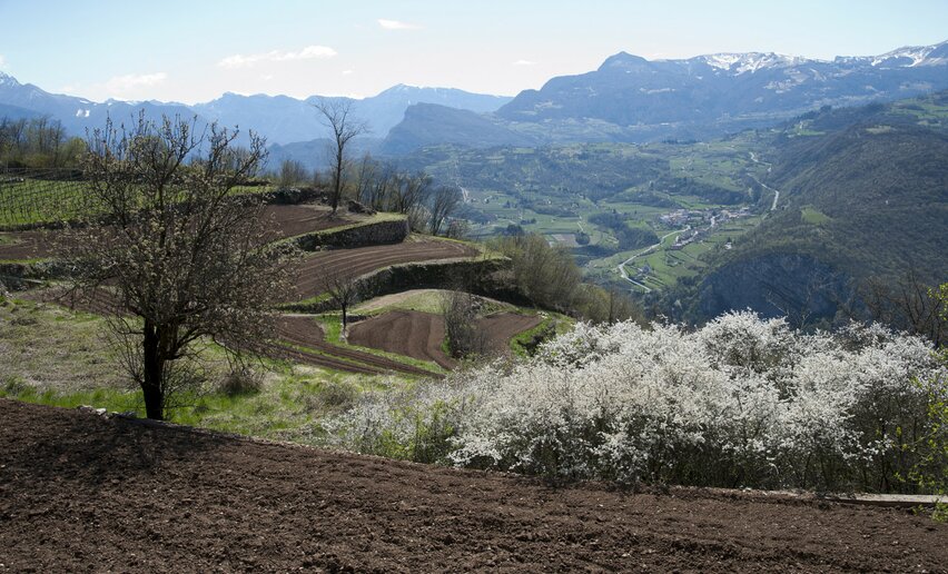 Scenic route through woods and cultivated fields of the Val di Gresta
![]() Difficulty: IntermediateMori Vecchio
Difficulty: IntermediateMori Vecchio
-
Anello di Mori Alta Loop
Mountain tour+ INFO (GPX KML)Duration: h 3:45Length: 10,3kmAscent: 593m
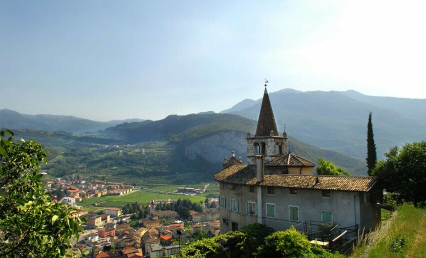 A panoramic loop that traces some parts of the Cammino di San Rocco, passing through the mid-mountain hamlets above Mori, touching various religious historical sites amidst wide panoramas and local culture.
![]() Difficulty: IntermediateMori, church of Santo Stefano
Difficulty: IntermediateMori, church of Santo Stefano
-
#15) From Ronzo Chienis to Rovereto
Mountain tour+ INFO (GPX KML)Duration: h 6:15Length: 18,3kmAscent: 1.436m
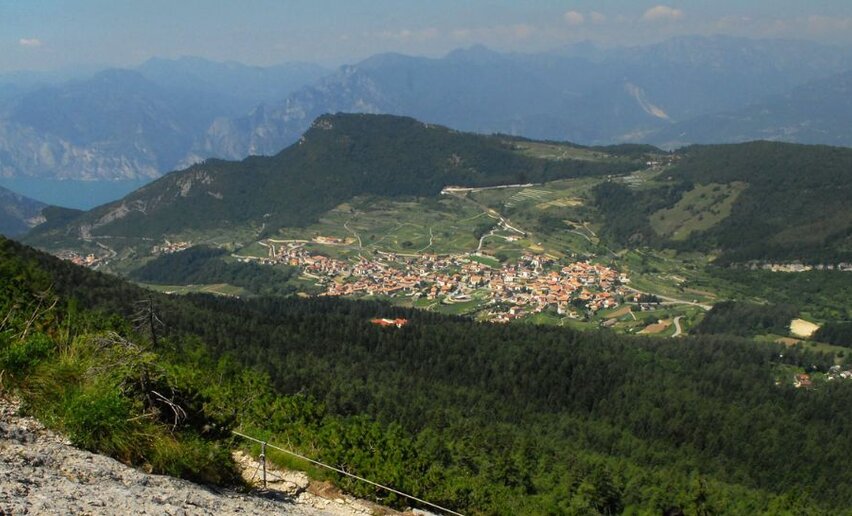 "Central" stage: crossing the Adige river marks the transition from western to eastern Trentino. Before reaching the river, however, you need to climb the summit of Monte Biaena and face the long descent leading to the valley floor.
 ![]() Difficulty: IntermediateRonzo Chienis Center
Difficulty: IntermediateRonzo Chienis Center
-
The trenches of Asmara
Hiking trail+ INFO (GPX KML)Duration: h 1:30Length: 1,0kmAscent: 55m
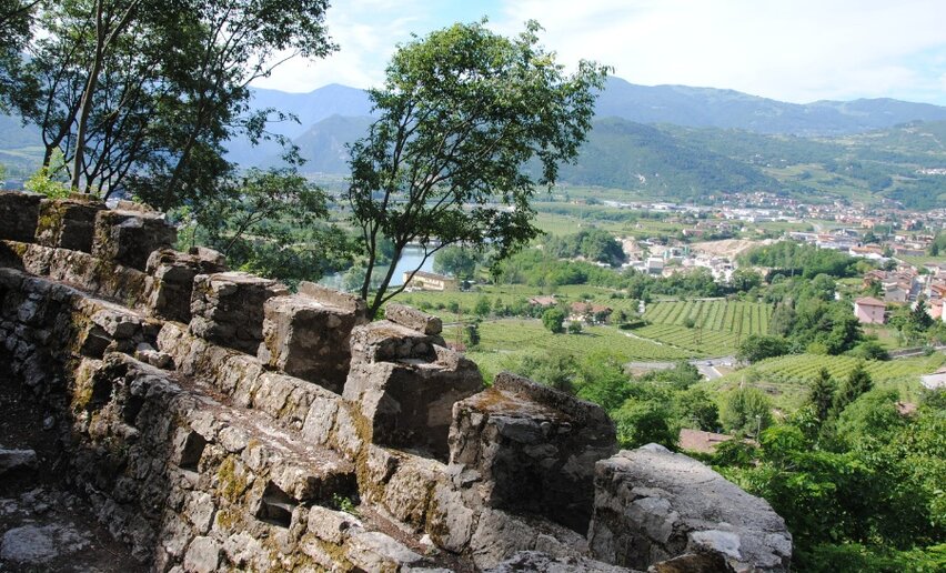 Visit to the Austro-Hungarian stronghold
![]() Difficulty: EasyRavazzone
Difficulty: EasyRavazzone
-
#14) From Mori to Ronzo Chienis.
Mountain tour+ INFO (GPX KML)Duration: h 5:40Length: 13,8kmAscent: 1.093m
 An intense but varied and challenging stage. We regain altitude and reach the summit of Mount Creino, with its generous views and intact remains of trenches and bunkers.
![]() Difficulty: IntermediateMoors Center
Difficulty: IntermediateMoors Center